Nadis Airport
Ñadis Airport (ICAO: SCND) is an airstrip serving settlements in the valleys of the Barrancoso and Baker Rivers in the Aysén Region of Chile.
Ñadis Airport | |||||||||||
|---|---|---|---|---|---|---|---|---|---|---|---|
| Summary | |||||||||||
| Airport type | Public | ||||||||||
| Serves | Cochrane Commune | ||||||||||
| Elevation AMSL | 262 ft / 80 m | ||||||||||
| Coordinates | 47°28′15″S 72°55′50″W | ||||||||||
| Map | |||||||||||
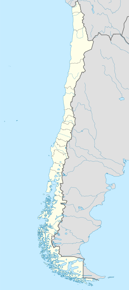 SCND Location of Ñadis Airport in Chile | |||||||||||
| Runways | |||||||||||
| |||||||||||
The airstrip is alongside the confluence of the two rivers. There is nearby mountainous terrain in all quadrants.
See also


- Transport in Chile
- List of airports in Chile
References
- Airport record for Ñadis Airport at Landings.com. Retrieved 2013-09-10
- Google (2013-09-10). "location of Ñadis Airport" (Map). Google Maps. Google. Retrieved 2013-09-10.
- Airport information for Ñadis Airport at Great Circle Mapper.
External links
- OpenStreetMap - Ñadis
- OurAirports - Ñadis
- FallingRain - Ñadis Airport
- Accident history for Ñadis Airport at Aviation Safety Network
This article is issued from Wikipedia. The text is licensed under Creative Commons - Attribution - Sharealike. Additional terms may apply for the media files.