Mount Wordie
Mount Wordie is a 4,700+ foot (1,433+ meter) mountain summit located in Glacier Bay National Park and Preserve, in the Alsek Ranges of the Saint Elias Mountains, in southeast Alaska.[3] The mountain is situated 80 mi (129 km) northwest of Juneau, 4 mi (6 km) south of Carroll Glacier, and 3.1 mi (5 km) north of Mount Merriam which is the nearest higher peak.[1] Although modest in elevation, relief is significant as the mountain rises up from tidewater in less than two miles.

| Mount Wordie | |
|---|---|
 Mount Wordie, west aspect (summit at upper left) | |
| Highest point | |
| Elevation | 4,700 ft (1,400 m) [1] |
| Prominence | 1,046 ft (319 m) [1] |
| Parent peak | Mount Merriam (5,083 ft)[1] |
| Isolation | 1.28 mi (2.06 km) [1] |
| Coordinates | 58°56′27″N 136°28′30″W [1] |
| Geography | |
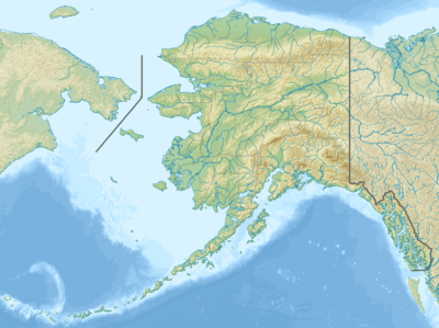 Mount Wordie Location of Mount Wordie in Alaska | |
| Location | Glacier Bay National Park Hoonah-Angoon Alaska, United States |
| Parent range | Takhinsha Mountains[1] Alsek Ranges Saint Elias Mountains |
| Topo map | USGS Mount Fairweather D-2 |
| Climbing | |
| Easiest route | South slope, West ridge[2] |
The mountain was named by members of a 1941 Glacier Bay expedition for James Mann Wordie (1889-1962), a Scottish polar explorer, glacier geologist, and President of the Royal Geological Society from 1951 through 1954.[3] Wordie visited nearby Muir Glacier in Glacier Bay in 1913.[3] Weather permitting, Mount Wordie can be seen from Queen Inlet and Wachusett Inlet of Glacier Bay, which is a popular destination for cruise ships. The months May through June offer the most favorable weather for viewing or climbing the peak.
Climate
Based on the Köppen climate classification, Mount Wordie Peak has a subarctic climate with cold, snowy winters, and mild summers.[4] Temperatures can drop below −20 °C with wind chill factors below −30 °C. Precipitation runoff from the mountain drains into Glacier Bay Basin.

References
- "Mount Wordie, Alaska". Peakbagger.com. Retrieved 2020-02-05.
- "Mount Wordie". Bivouac.com. Retrieved 2020-02-05.
- "Mount Wordie". Geographic Names Information System. United States Geological Survey. Retrieved 2020-02-05.
- Peel, M. C.; Finlayson, B. L. & McMahon, T. A. (2007). "Updated world map of the Köppen−Geiger climate classification". Hydrol. Earth Syst. Sci. 11. ISSN 1027-5606.
External links
- Weather forecast: Mount Wordie