Mount Wistar
Mount Wistar (Danish: Wistar Bjerg) is a mountain in Peary Land, Northern Greenland. Administratively it is part of the Northeast Greenland National Park.
| Mount Wistar | |
|---|---|
| Wistar Bjerg | |
 Mount Wistar | |
| Highest point | |
| Elevation | 1,737 m (5,699 ft) [1] |
| Coordinates | 82°53′15″N 32°30′28″W [1] |
| Geography | |
| Location | Peary Land, Greenland |
| Climbing | |
| First ascent | Unclimbed |
Geography
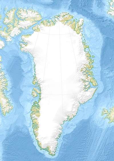
Mt Wistar is located to the south of the middle stretch of Frederick E. Hyde Fjord in Peary Land, southwest of the shore of the Freja Fjord. The mountain rises west of the Balder Glacier, beyond which rises the Nordkrone.[2]
Polar climate prevails in the area of Mt Wistar, the average annual temperature in the area being -17 °C . The warmest month is July when the average temperature rises to -2 °C and the coldest is April with -24 °C.[3]
History
Mt Wistar was seen in 1900 by Robert Peary from the northern side of the Frederick E. Hyde Fjord. It was named after General Isaac J. Wistar (1827-1905), then President of the Academy of Natural Sciences in Philadelphia. Peary thought he recognized it as a mountain he had seen from Navy Cliff in his 1892 expedition.[4]
 Map of the Nares Strait area. |
See also
References
- Defense Mapping Agency Greenland Navigation chart ONC A-5
- "Wistar Bjerg". Mapcarta. Retrieved 8 July 2016.
- "NASA Earth Observations Data Set Index". NASA. Retrieved 10 June 2019.
- Spencer Apollonio, Lands That Hold One Spellbound: A Story of East Greenland, 2008 p. 86