Mount Tregear
Mount Tregear, is a 2042 m mountain in New Zealand's South Island.
| Mount Tregear | |
|---|---|
 Mount Tregear | |
| Highest point | |
| Elevation | 2,042 m (6,699 ft) |
| Coordinates | 43°5.323′S 171°8.7′E |
| Geography | |
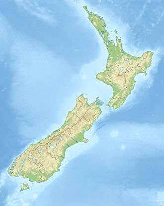
| Location | South Island, New Zealand |
| Parent range | Southern Alps |
Mount Tregear is on the main divide at the head of the Mathias River of New Zealand's Southern Alps. It is located 38 kilometres southwest of Arthurs Pass. It is named after Edward Robert Tregear.
References
"Place name detail: Mount Tregear". New Zealand Gazetteer. Land Information New Zealand. Retrieved 21 August 2010.
LINZ (2010): Topo50 map BV19 - Lake Kaniere
This article is issued from Wikipedia. The text is licensed under Creative Commons - Attribution - Sharealike. Additional terms may apply for the media files.