Mount Tondano
Mount Tondano in the province of North Sulawesi, Sulawesi, Indonesia, has a 20 × 30 km wide caldera which was formed in the Late Miocene or Early Pliocene[2] formed by a massive eruption. Post caldera activity includes Pyroclastic cones, obsidian flows and geothermal areas in the caldera area. The Lake Tondano lies in the east side of the caldera.[1]
| Mount Tondano | |
|---|---|
 Mount Tondano Sulawesi, Indonesia | |
| Highest point | |
| Elevation | 1,202 m (3,944 ft) [1] |
| Coordinates | 1°14′N 124°50′E [1] |
| Geography | |
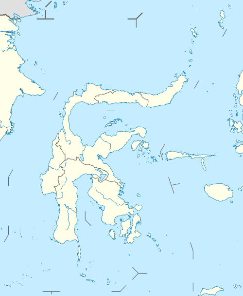
| Location | Sulawesi, Indonesia |
| Geology | |
| Mountain type | Caldera |
| Last eruption | Unknown |
The 5 km long and 3.5 km wide ellipsoidal Pangolombian caldera lies entirely within the Tondano Caldera, and formed from a large eruption of an older Somma volcano [2]
In more recent times, the somma volcanoes of Soputan, Sempu, Lokon-Empung and Mahawu have been constructed along the rim of the Tondano caldera, with Soputan being the youngest and most frequently active of the group.[1] The Tondano caldera has been investigated as a potential source for geothermal energy to support the growing population in the vicinity of the caldera.[2] Energy demand has been growing in Indonesia, and the Tondano caldera system could potentially provide clean energy for thousands of residents in northern Sulawesi.[2]
See also
References
- "Tondano". Global Volcanism Program. Smithsonian Institution. Retrieved 2006-12-31.
- "Lahendong Geothermal Field, Indonesia: Geothermal Model based on wells LHD-23 and LHD-28" (PDF). December 2010.