Mount Dagelet
Mount Dagelet is a 9,800+ ft (2,990+ m) glaciated mountain summit located in the Fairweather Range of the Saint Elias Mountains, in southeast Alaska, United States. The peak is situated in Glacier Bay National Park, 4.6 mi (7 km) south of Mount Crillon, and 4 mi (6 km) northwest of Mount La Perouse, which is the nearest highest peak. Topographic relief is significant as the mountain rises up from tidewater in less than nine miles. The mountain was named in 1874 by William Healey Dall of the U.S. Geological Survey, for Joseph Lepaute Dagelet (1751-1788), a French astronomer and mathematician who accompanied Lapérouse when he explored this coastal area in 1786.[3] The first ascent of the peak was made July 29, 1933, by W. S. Child, C. S. Houston, and H. A. Carter.[3]
| Mount Dagelet | |
|---|---|
 Mt. Dagelet and La Perouse Glacier | |
| Highest point | |
| Elevation | 9,800+ ft (2,990+ m) [1] |
| Prominence | 1,404 ft (428 m) [1] |
| Parent peak | Mount Crillon (12,726 ft)[2] |
| Isolation | 2.5 mi (4.0 km) [1] |
| Coordinates | 58°35′46″N 137°10′29″W [1] |
| Geography | |
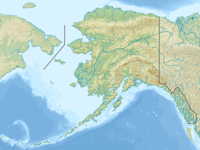 Mount Dagelet Location of Mount Dagelet in Alaska | |
| Location | Glacier Bay National Park Hoonah-Angoon Alaska, United States |
| Parent range | Fairweather Range Saint Elias Mountains[1] |
| Topo map | USGS Mount Fairweather C-4 |
| Climbing | |
| First ascent | 1933 |
| Easiest route | Mountaineering |
Climate

Based on the Köppen climate classification, Mount Dagelet has a subarctic climate with cold, snowy winters, and cool summers.[4] Weather systems coming off the Gulf of Alaska are forced upwards by the Fairweather Range (orographic lift), causing heavy precipitation in the form of rainfall and snowfall. Temperatures can drop below −20 °C with wind chill factors below −30 °C. This climate supports the La Perouse Glacier to the south. Precipitation runoff and meltwater from its glaciers drains into the Gulf of Alaska. The months May through July offer the most favorable weather for climbing and viewing.
References
- "Mount Dagelet, Alaska". Peakbagger.com. Retrieved 2020-01-29.
- "Mount Dagelet". Bivouac.com. Retrieved 2020-01-29.
- "Mount Dagelet". Geographic Names Information System. United States Geological Survey. Retrieved 2020-01-29.
- Peel, M. C.; Finlayson, B. L. & McMahon, T. A. (2007). "Updated world map of the Köppen−Geiger climate classification". Hydrol. Earth Syst. Sci. 11. ISSN 1027-5606.
External links
- Weather forecast: Mount Dagelet