Mount Bayard
Mount Bayard is a 1,999 metres (6,558 ft) glaciated mountain located in the Boundary Ranges on the international boundary line of Alaska and British Columbia. It is situated 22 kilometres (14 mi) north-northwest of Stewart, 10 km (6 mi) southeast of Mount White-Fraser, and 3.4 km (2 mi) east of Mount Lindeborg, which is its nearest higher peak.[1] Precipitation runoff from the peak and meltwater from the Boundary and Salmon Glaciers that surround the peak drains into the Salmon River. Mount Lindeborg was the name adopted for this feature in 1921, however by 1924 it was renamed Mount Bayard in lieu of Lindeborg.[3] The Mount Lindeborg name was transferred to the peak 3.4 km (2 mi) immediately west. Mount Bayard was named by the International Boundary Commission for Thomas F. Bayard (1828-1898), a diplomat and United States Senator.[4] The mountain's name was officially adopted July 31, 1927, by the Geographical Names Board of Canada.[5] The mountain is also known as Boundary Peak 15.[6] Weather permitting, the mountain can be seen from the gravel Granduc Mine Road at Hyder, Alaska.
| Mount Bayard | |
|---|---|
| Boundary Peak 15 | |
 Mount Bayard and Salmon Glacier | |
| Highest point | |
| Elevation | 1,999 m (6,558 ft) [1] |
| Prominence | 189 m (620 ft) [1] |
| Parent peak | Mount Lindeborg (2109 m)[1] |
| Coordinates | 56°07′22″N 130°06′13″W [2] |
| Geography | |
 Mount Bayard Location in British Columbia 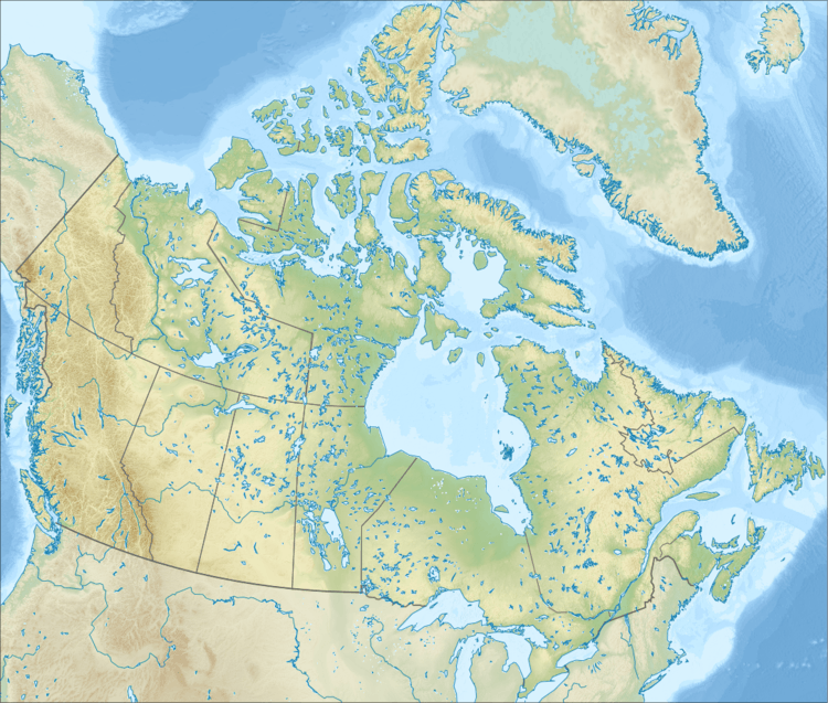 Mount Bayard Mount Bayard (Canada) | |
| Location | British Columbia, Canada |
| Parent range | Boundary Ranges Coast Mountains |
| Topo map | NTS 104B/01 |
Climate
Based on the Köppen climate classification, Mount Bayard is located in the marine west coast climate zone of western North America.[7] Most weather fronts originate in the Pacific Ocean, and travel east toward the Coast Mountains where they are forced upward by the range (Orographic lift), causing them to drop their moisture in the form of rain or snowfall. As a result, the Coast Mountains experience high precipitation, especially during the winter months in the form of snowfall. Temperatures can drop below −20 °C with wind chill factors below −30 °C.
References
- "Mount Bayard". Bivouac.com. Retrieved 2019-12-04.
- "Mount Bayard, Alaska/British Columbia". Peakbagger.com. Retrieved 2019-12-04.
- "Mount Bayard". Geographic Names Information System. United States Geological Survey. Retrieved 2019-12-04.
- "Mount Bayard". BC Geographical Names.
- "Mount Bayard". Geographical Names Data Base. Natural Resources Canada. Retrieved 2019-12-04.
- "Mount Bayard, Alaska/British Columbia". Peakbagger.com. Retrieved 2019-12-04.
- Peel, M. C.; Finlayson, B. L. & McMahon, T. A. (2007). "Updated world map of the Köppen−Geiger climate classification". Hydrol. Earth Syst. Sci. 11. ISSN 1027-5606.
See also
External links
- Flickr: Photo of summit
- Flickr: Salmon Glacier and Mt. Bayard
- Weather forecast: Mount Bayard
- YouTube: Mt. Bayard seen from road