Mizhhirya
Mizhhiria (Ukrainian: Міжгір'я; Hungarian: Ökörmező; Romanian: Boureni; Yiddish: וואלאווע, Volovo; Russian: Межгорье) is an urban-type settlement in Zakarpattia Oblast (province) in western Ukraine. The town is also the administrative center of Mizhhirya Raion (district), housing the district's local administration buildings. The town's population was 9,656 as of the 2001 Ukrainian Census.[2] Current population: 9,607 (2016 est.)[3].
Mizhhiria Міжгір'я | |
|---|---|
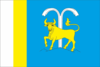 Flag 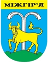 Coat of arms | |
 Mizhhiria 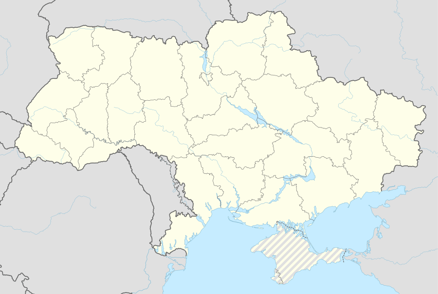 Mizhhiria | |
| Coordinates: 48°31′43″N 23°30′07″E | |
| Country | |
| Oblast | |
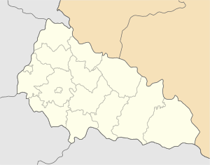
| Raion | Mizhhirya Raion |
| First mentioned | 1415 |
| Town status | 1947 |
| Government | |
| • Town Head | Vasyl Schur |
| Area | |
| • Total | 4.58 km2 (1.77 sq mi) |
| Elevation | 437 m (1,434 ft) |
| Population (2016) | |
| • Total | |
| Time zone | UTC+2 (EET) |
| • Summer (DST) | UTC+3 (EEST) |
| Postal code | 90004 |
| Area code | +380 3146 |
| Website | http://rada.gov.ua/ |
The settlement was first mentioned in 1415 as a possession of the Hungarian feudal lords. It was part of the Kingdom of Hungary (from the 11th century to 1918 and from 1938–1944) as the settlement of Ökörmező in the Máramaros County and Ökörmező District. From 1918 to 1938, the settlement was a part of Czechoslovakia as Volove (However Ruthenians used Mežhorje).[4] In 1947, its status was upgraded to that of an urban-type settlement.[2] It was renamed as "Mizhhirya" in 1953.
References
- "Kol'chyno (Zakarpattia Oblast, Mukachevo Raion)". weather.in.ua. Retrieved 18 May 2012.
- "Mizhhirya, Zakarpattia Oblast, Mizhhirya Raion". Regions of Ukraine and their Structure (in Ukrainian). Verkhovna Rada of Ukraine. Retrieved 18 May 2012.
- "Чисельність наявного населення України (Actual population of Ukraine)" (PDF) (in Ukrainian). State Statistics Service of Ukraine. Retrieved 19 July 2016.
- "Mizhhirya, Ukraine". KehilaLinks. JewishGen. Retrieved 18 May 2012.
External links
- "Mizhhirya". Site of the Mizhhirya District Council (in Ukrainian). Archived from the original on 24 April 2012. Retrieved 18 May 2012.
- "Official website". Official website (in Russian). Archived from the original on 28 August 2019. Retrieved 18 May 2012.
Gallery
.jpg) Synagogue
Synagogue
| Raions | |||||
|---|---|---|---|---|---|
| Hromadas | |||||
| Cities |
| ||||
| |||||