Meuro
Meuro is a village and a former municipality in Wittenberg district in Saxony-Anhalt, Germany. Since 1 July 2009, it is part of the town Bad Schmiedeberg.
Meuro | |
|---|---|
Stadtteil of Bad Schmiedeberg | |
Location of Meuro 
| |
 Meuro 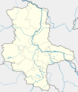 Meuro | |
| Coordinates: 51°44′N 12°42′E | |
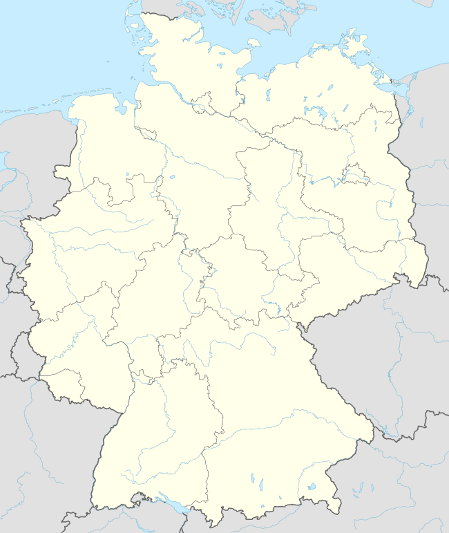
| Country | Germany |
| State | Saxony-Anhalt |
| District | Wittenberg |
| Town | Bad Schmiedeberg |
| Subdivisions | 4 |
| Area | |
| • Total | 26.59 km2 (10.27 sq mi) |
| Elevation | 115 m (377 ft) |
| Population (2006-12-31) | |
| • Total | 613 |
| • Density | 23/km2 (60/sq mi) |
| Time zone | CET/CEST (UTC+1/+2) |
| Postal codes | 06905 |
| Dialling codes | 034925 |
| Vehicle registration | WB |
| Website | www.bad-schmiedeberg.de |
Geography and transport
Meuro lies about 20 km southeast of Lutherstadt Wittenberg and about 5 km northwest of Bad Schmiedeberg on the northern edge of the Düben Heath, putting the community's more southerly areas in the Düben Heath Nature Park. West of the community runs the Federal Highway (Bundesstraße) B 2, which joins Berlin and Wittenberg, and to the north runs the B 187. The community is also crossed by a stream called the Flieth.
Subdivisions
Meuro consists of Ogkeln, Sackwitz, and Scholis.

This article is issued from Wikipedia. The text is licensed under Creative Commons - Attribution - Sharealike. Additional terms may apply for the media files.