Masurian Landscape Park
Masurian Landscape Park (Polish: Mazurski Park Krajobrazowy) is a designated Polish Landscape Park protected area within Warmian-Masurian Voivodeship, in northern Poland.
| Masurian Landscape Park | |
|---|---|
| Mazurski Park Krajobrazowy | |
IUCN category V (protected landscape/seascape) | |
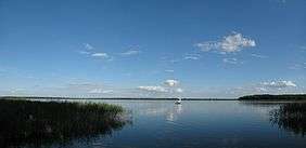 Seksty Lake from Kaczor peninsula in Masurian Landscape Park | |
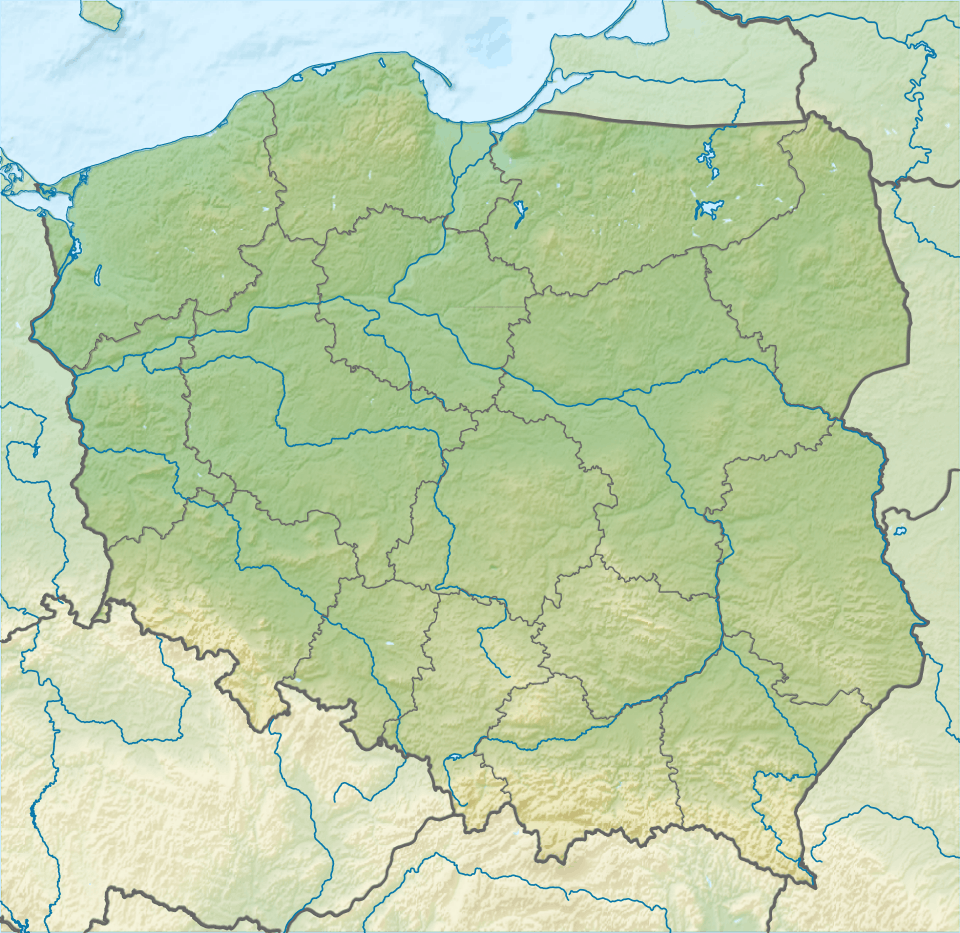 Masurian Landscape Park Map of Poland | |
| Location | Masurian Lake District, Warmian-Masurian Voivodeship, Poland |
| Nearest city | Mikołajki |
| Coordinates | 53°43′23″N 21°36′11″E[1] |
| Area | 536.55 km2 (207.16 sq mi) |
| Established | 1977 |
| Governing body | Wojewoda Warmińsko-Mazurski |
It was established in 1977, and is a Natura 2000 EU Special Protection Area.
Geography
The Landscape Park protects an area of 536.55 square kilometres (207.16 sq mi) in the Masurian Lake District.[2]
The Park lies within Warmian-Masurian Voivodeship, in:
- Mrągowo County — Gmina Mikołajki, Gmina Mrągowo, and Gmina Piecki
- Pisz County — Gmina Pisz, Gmina Orzysz, and Gmina Ruciane-Nida
- Szczytno County — Gmina Świętajno
Features
The Park contains the biggest Polish lake called Śniardwy, with an area of 114.16 km2, together with lakes of Kaczerajno and Seksty. Other bigger lakes include Bełdany (9.41 km2), Mokre (8.15 km2), Łuknajno (6.92 km2), Mikołajskie (4.98 km2), Warnołty (4.65 km2) and Zdrużno (2.52 km2). There are also over 20 smaller dystrophic lakes in the Krutynia river basin.
Within the Landscape Park are 11 nature reserves, including that of Łuknajno Lake, a Ramsar site also designated by UNESCO as a biosphere reserve due to its unique bird habitat.[2]
General information
- Total area: 536.55 km2
- Forested area: 290 km2
- Water area (rivers and lakes): 180 km2
- Protected area: 186.08 km2
- Number of settlements: 29
- Number of permanent residents: approx. 4,800
See also
- Landscape parks in Poland
- Special Protection Areas in Poland
- Masurian dialect
- Natura 2000 in Poland
References
- "Mazurski Park Krajobrazowy Landscape Park". protectedplanet.net.
- (in Polish) Mazurski Park Krajobrazowy, at www.mazury.info.pl