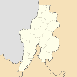
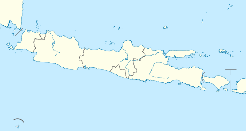
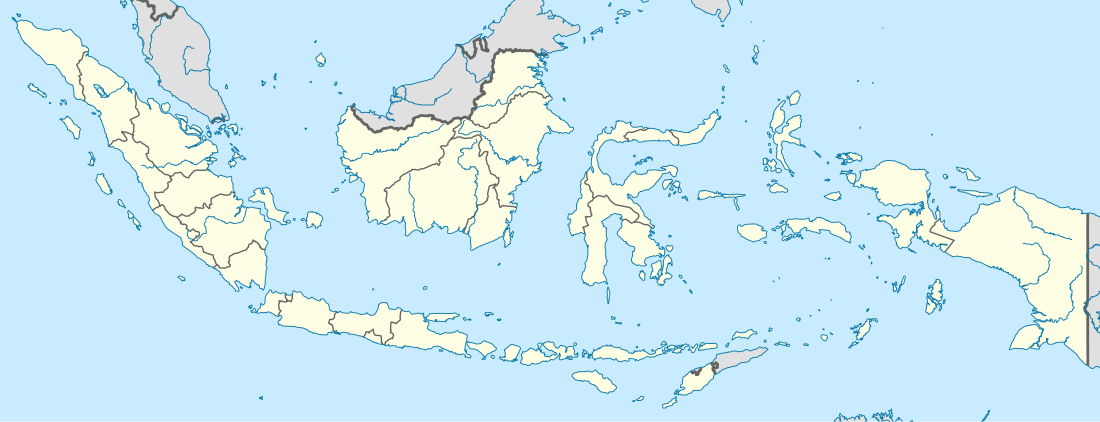
South Bekasi
South Bekasi (Indonesian: Bekasi Selatan) is one of the twelve districts (kecamatan) within the municipality of Bekasi, in Jakarta's greater metro area on the island of Java, Indonesia. The district covers an area of 1,605.40 hectares (3,967 acres), and as of December 2012 had a population of 196,231.[1] Administratively it is divided into five administrative villages (kelurahan): Jaka Mulya (Jakamulya) (273 Ha), Jaka Setia (Jakasetia) (330 Ha), Kayuringin Jaya (368 Ha), Marga Jaya (Margajaya) (209 Ha), and Pekayon Jaya (425 Ha).[1][2] Public schools were started in the district in 1994.[1] As of 2013 all of the villages had health centres except for Jaka Setia.[1]
South Bekasi Bekasi Selatan | |
|---|---|
| Coordinates: 6°15′20″S 106°58′07″E | |
| Country | Indonesia |
| Province | West Java |
| City | Bekasi |
| Time zone | UTC+7 (IWST) |
| Area code | (+62) 21 |
| Vehicle registration | B |
| Villages | 5 |
| Website | kec-bekasiselatan |
Geography
South Bekasi lies in the lowlands with elevations from 0 to 25 meters. The area is flat lying with an average slope of 2%, and is subject to flooding during and after heavy rains.[1]
References
- "Gambaran Umum Kecamatan Bekasi Selatan (Overview of the District of South Bekasi)" (in Indonesian). Bekasi Municipality. 23 September 2013. Archived from the original on 27 April 2014.
- "Bekasi Selatan Siap Bersihkan Sampah Liar (South Bekasi Ready to Clean up Wild Garbage)". Go Bekasi (in Indonesian). 24 April 2014. Archived from the original on 16 June 2014.
External links
- "Profile of South Bekasi District" (in Indonesian). Bagian Telematika Sekretariat Daerah Kota Bekasi. Archived from the original on 4 April 2014.