Malad River (Idaho-Utah)
The Malad River is a 97-mile long (156 km)[3] tributary of the Bear River in southeastern Idaho and northern Utah in the western United States.
| Malad River | |
|---|---|
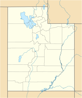 Location of the mouth of the Malad River in Utah  Malad River (Idaho-Utah) (the United States) | |
| Location | |
| Country | United States |
| State | Utah, Idaho |
| Counties | Box Elder County, Utah, Oneida County, Idaho |
| Physical characteristics | |
| Source | Big Malad Spring |
| • location | northwest of Malad City, Oneida County, Idaho |
| • coordinates | 42°13′18″N 112°21′54″W[1] |
| • elevation | 4,728 ft (1,441 m)[1] |
| Mouth | Bear River |
• location | south of Bear River City, Box Elder County, Utah |
• coordinates | 41°35′10″N 112°07′03″W[2] |
• elevation | 4,222 ft (1,287 m)[2] |
| Length | 97 mi (156 km)[3] |
Description
The river flows southward, beginning northwest of Malad City, Idaho, crosses the Idaho-Utah state line just north of Portage, Utah, flows through Tremonton, and empties into the Bear River just south of Bear River City.
Malad River was so named on account of the river making pioneers sick, malade meaning "sick" in French.[4]
References
- "Big Malad Spring". Geographic Names Information System. United States Geological Survey. June 21, 1979. Retrieved July 22, 2013.
- "Malad River". Geographic Names Information System. United States Geological Survey. December 31, 1979. Retrieved July 22, 2013.
- "National Hydrography Dataset". United States Geological Survey. Retrieved July 22, 2013.
- Van Atta, Dale (Jan 22, 1977). "You name it - there's a town for it". The Deseret News. pp. W6. Retrieved 18 October 2015.
This article is issued from Wikipedia. The text is licensed under Creative Commons - Attribution - Sharealike. Additional terms may apply for the media files.