Mahogany Mountains
The Mahogany Mountains are a mountain range located on the Nevada-Utah border, located in Lincoln County, Nevada and Iron County, Utah.[1]
| Mahogany Mountains | |
|---|---|
| Highest point | |
| Peak | Mahogany Peak (Lincoln County) |
| Elevation | 8,665 ft (2,641 m) |
| Geography | |
| Country | United States |
| State | Nevada |
| District | Lincoln County |
| Range coordinates | 37°57′43.864″N 114°4′30.917″W |
| Topo map | USGS Deer Lodge Canyon |
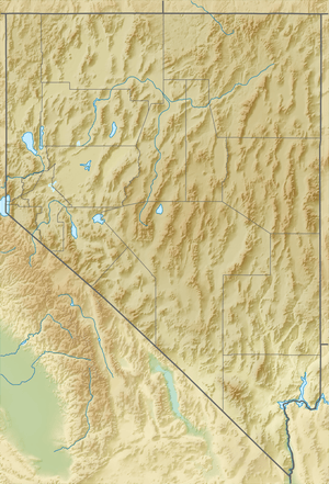
The range highpoint is Mahogany Peak (Lincoln County) located center-northwest,[2] and about 8665 ft in height.[3] The Needle Mountains (Nevada-Utah) are attached north, and both ranges lie attached to the south terminus of the White Rock Mountains of Nevada.
References
- "Mahogany Mountains". Geographic Names Information System. United States Geological Survey. Retrieved 2009-05-04.
- Nevada DeLorme Atlas & Gazetteer, c 2010, p. 57. Utah DeLorme Atlas, p. 48.
- Mahogany Peak (Lincoln County), (lat-long.com), coordinates and elevation
This article is issued from Wikipedia. The text is licensed under Creative Commons - Attribution - Sharealike. Additional terms may apply for the media files.