Lubero
Lubero is a town in the North Kivu Province of the Democratic Republic of the Congo (DRC). It is the administrative center of the Lubero Territory.
Lubero | |
|---|---|
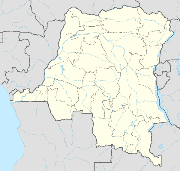 Lubero Location in the Democratic Republic of the Congo | |
| Coordinates: 00°09′18″S 29°14′24″E | |
| Country | Democratic Republic of the Congo |
| Province | North Kivu |
| Time zone | UTC+2 (DRC2) |
| National language | Swahili |
| Climate | Cfb |
Location
The town is lies at an average altitude of 1,900 metres (6,200 ft), in the Virunga Mountains, at the western edge of Virunga National Park, close to the international border with Uganda. Lubero lies approximately 210 kilometres (130 mi), by road, north of the provincial capital of Goma.[1] This location is approximately 98 kilometres (61 mi), by road, southwest of Beni, the nearest large town.[2] The coordinates of Lubero are: 0°09′18″S, 29°14′0″E (Latitude:-0.1550; Longitude:29.2400).
Overview
Lubero is a medium-sized town with several modern amenities including an airport, Lubero Airport, with a grass runway.[3] In the hills around the town, a mini-hydropower station, Lubero Hydroelectric Power Station, is planned to complement Mutwanga Hydroelectric Power Station and Rutshuru Hydroelectric Power Station, in supplying power to the communities in and around Virunga National Park.[4]
Like most localities in North Kivu, Lubero has witnessed plenty of violence as the various militias have battled each other for real estate and treasure during the last two decades. Battles have also been fought between the militias, government forces and United Nations "peace keepers". The toll in human lives has been high. Many have been left with physical disabilities. More suffer long-term psychological war trauma.[5]
Population
As of March 2014, the population of Lubero is not publicly known.