Lontuecito Airport
Lontuecito Airport (Spanish: Aeropuerto de Lontuecito), (ICAO: SCUP) is an airstrip serving the Río Claro commune of the Maule Region in Chile. The runway is 1.6 kilometres (1 mi) east of Cumpeo (es), the municipal seat of the commune.
Lontuecito Airport | |||||||||||
|---|---|---|---|---|---|---|---|---|---|---|---|
| Summary | |||||||||||
| Airport type | Public | ||||||||||
| Serves | Río Claro, Chile | ||||||||||
| Elevation AMSL | 1,066 ft / 325 m | ||||||||||
| Coordinates | 35°17′00″S 71°14′12″W | ||||||||||
| Map | |||||||||||
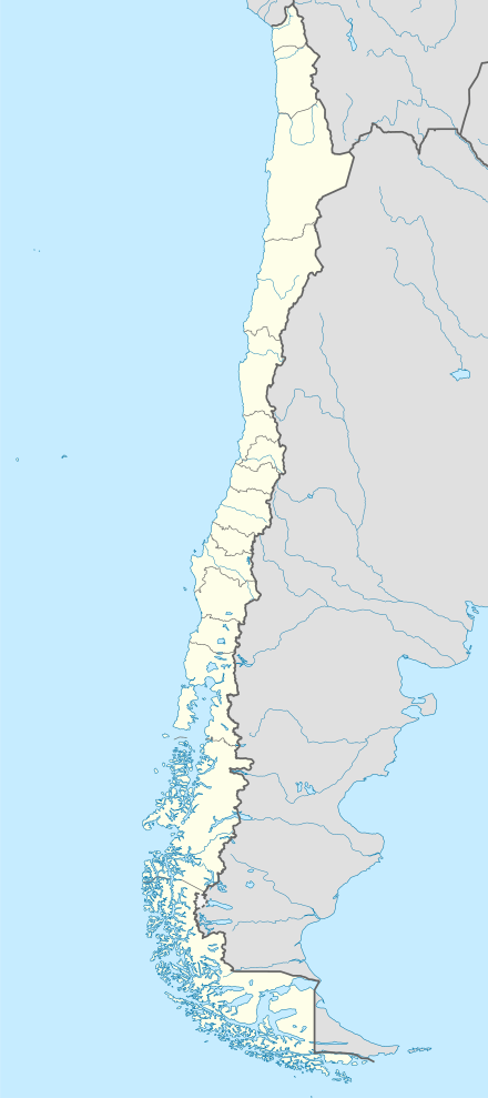 SCUP Location of Lontuecito Airport in Chile | |||||||||||
| Runways | |||||||||||
| |||||||||||
See also


- Transport in Chile
- List of airports in Chile
References
- Airport record for Lontuecito Airport at Landings.com. Retrieved 2013-09-11
- Google (2013-09-11). "location of Lontuecito Airport" (Map). Google Maps. Google. Retrieved 2013-09-11.
- Airport information for Lontuecito Airport at Great Circle Mapper.
External links
- OpenStreetMap - Lontuecito
- OurAirports - Lontuecito
- FallingRain - Lontuecito Airport
- Accident history for Lontuecito Airport at Aviation Safety Network
This article is issued from Wikipedia. The text is licensed under Creative Commons - Attribution - Sharealike. Additional terms may apply for the media files.