Lautaro Airport
Lautaro Airport (ICAO: SCLA) was an airport serving Lautaro, a town in the Araucanía Region of Chile.
Lautaro Airport | |||||||||||
|---|---|---|---|---|---|---|---|---|---|---|---|
| Summary | |||||||||||
| Airport type | Closed | ||||||||||
| Serves | Lautaro, Chile | ||||||||||
| Elevation AMSL | 699 ft / 213 m | ||||||||||
| Coordinates | 38°32′34.2″S 72°25′18.5″W | ||||||||||
| Map | |||||||||||
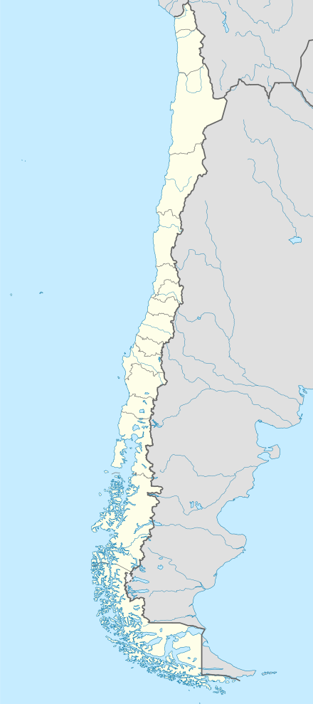 SCLA Location of Lautaro Airport in Chile | |||||||||||
| Runways | |||||||||||
| |||||||||||
The former 1,200 metres (3,900 ft) grass runway has been overbuilt by high density housing.[2] Google Earth Historical Imagery shows the housing was built sometime prior to (12/2/2010).
See also


- Transport in Chile
- List of airports in Chile
References
- Airport record for Lautaro Airport at Landings.com. Retrieved 2013-09-07
- Google (2017-11-11). "location of Lautaro Airport" (Map). Google Maps. Google. Retrieved 2017-11-11.
This article is issued from Wikipedia. The text is licensed under Creative Commons - Attribution - Sharealike. Additional terms may apply for the media files.