Lauritzen Bay
Lauritzen Bay is a bay about 12 nautical miles (22 km) wide, occupied by bay ice and ice shell, indenting the coast of Antarctica between Cape Yevgenov and Coombes Ridge. The Matusevich Glacier Tongue joins Coombes Ridge in forming the west side of the bay. It was photographed from the air by U.S. Navy Operation Highjump in 1947, and was sketched and photographed by Phillip Law, leader of the Australian National Antarctic Research Expedition (ANARE) on the Magga Dan on February 20, 1959. It was then named by the Antarctic Names Committee of Australia for shipowner Knud Lauritzen of Copenhagen, Denmark, who supplied the Magga Dan and other vessels used by ANARE since 1954.[2]
| Lauritzen Bay | |
|---|---|
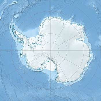 Lauritzen Bay Location in Antarctica | |
| Coordinates | 69°7′S 156°50′E |
| Ocean/sea sources | Southern Ocean |
| Basin countries | Antarctica |
| Settlements | None[1] |
References
- GoogleEarth
- "Lauritzen Bay". Geographic Names Information System. United States Geological Survey. Retrieved 2013-06-04.
![]()