La Guingueta d'Àneu
La Guingueta d'Àneu is a municipality in the comarca of the Pallars Sobirà in Catalonia, Spain. It is situated in the valley of the Noguera Pallaresa river below the reservoir of La Torrassa. It is linked to Sort by the C-147 road.
La Guingueta d'Àneu | |
|---|---|
 St. Peter's church, in Jou | |
 Coat of arms | |
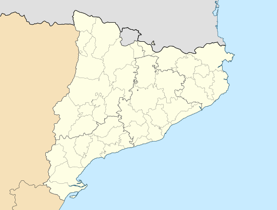 La Guingueta d'Àneu Location in Catalonia | |
| Coordinates: 42°35′43″N 1°08′00″E | |
| Country | |
| Community | |
| Province | Lleida |
| Comarca | Pallars Sobirà |
| Government | |
| • Mayor | Josep Antoni Cervós Costansa (2015)[1] |
| Area | |
| • Total | 108.4 km2 (41.9 sq mi) |
| Elevation | 938 m (3,077 ft) |
| Population (2018)[3] | |
| • Total | 298 |
| • Density | 2.7/km2 (7.1/sq mi) |
| Website | guingueta |

Reservoir of la Torrassa
Subdivisions
The municipality of la Guingueta d'Àneu is formed of thirteen villages. Populations are given as of 2005:
- Berrós Jussà (24)
- Burgo (7)
- Cerbi (20), on the right bank of the Unarre river, at the foot of Mont-roig mountain (2864 m)
- Dorve (11)
- Escalarre (26), on the left bank of the Unarre river
- Escaló (95), on the C-147 road
- Escart (16), on the left bank of the Escart river
- Estaron (16), on the slopes of the Aurati range
- Gavàs (17)
- La Guingueta (78)
- Jou (25), in the north-east of the municipality
- Llavorre (5)
- Unarre (14), in the valley of the Unarre river
Demography
| 1900 | 1930 | 1950 | 1970 | 1986 | 2007 |
|---|---|---|---|---|---|
| 1126 | 1021 | 868 | 404 | 261 | 370 |
See also
- Sant Pere del Burgal
- Apse of Santa Maria d'Àneu, a romanesque apse of the church of Santa Maria d'Àneu, the transferred frescos from which are now exhibited at Museu Nacional d'Art de Catalunya.
- Paintings from El Burgal
References
- "Ajuntament de la Guingueta d'Àneu". Generalitat of Catalonia. Retrieved 2015-11-13.
- "El municipi en xifres: La Guingueta d'Àneu". Statistical Institute of Catalonia. Retrieved 2015-11-23.
- Municipal Register of Spain 2018. National Statistics Institute.
- Panareda Clopés, Josep Maria; Rios Calvet, Jaume; Rabella Vives, Josep Maria (1989). Guia de Catalunya, Barcelona: Caixa de Catalunya. ISBN 84-87135-01-3 (Spanish). ISBN 84-87135-02-1 (Catalan).
External links
- Official website (in Catalan)
- Government data pages (in Catalan)
Places adjacent to La Guingueta d'Àneu | ||||||||||
|---|---|---|---|---|---|---|---|---|---|---|
| ||||||||||
Municipalities of Pallars Sobirà | ||
|---|---|---|
This article is issued from Wikipedia. The text is licensed under Creative Commons - Attribution - Sharealike. Additional terms may apply for the media files.