Kuntur Sinqa (Ayacucho)
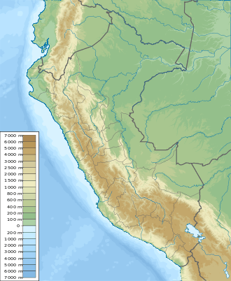
Kuntur Sinqa (Quechua kuntur condor, sinqa nose, "condor nose", also spelled Condor Sencca, Condor-Sencca, Condor Senja) is a mountain in the Andes of Peru. It is located in the Ayacucho Region, Huanta Province, Luricocha District.[1] Kuntur Sinqa lies on the right bank of the Mantaro River, east of San Miguel de Mayocc and southwest of San José de Secce.
| Kuntur Sinqa | |
|---|---|
 Kuntur Sinqa Peru | |
| Highest point | |
| Coordinates | 12°48′51″S 74°16′35″W |
| Geography | |
| Location | Peru, Ayacucho Region, Huanta Province |
| Parent range | Andes |
On August 16, 1945, a considerable landslide occurred on the northwest slope of Kuntur Sinqa. It dammed the Mantaro River for about 73 days.[2]
References
- escale.minedu.gob.pe - UGEL map of the Huanta Province (Ayacucho Region)
- J.N. Hutchinson, E. Kojan, The Mayunmarca Landslide of 25 April 1974, p. 4: Earlier recorded landslides in the Mantaro Valley, UNESCO
This article is issued from Wikipedia. The text is licensed under Creative Commons - Attribution - Sharealike. Additional terms may apply for the media files.