Kukpuk River
The Kukpuk River is a stream, about 125 miles (201 km) long, in the western North Slope Borough of the U.S. state of Alaska.[3] It flows generally west from the De Long Mountains across the Lisburne Peninsula to Marryat Inlet on the Chukchi Sea.[4] The river mouth is about 12 miles (19 km) northeast of Point Hope.[1]
| Kukpuk River | |
|---|---|
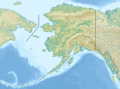 Location of the mouth of the Kukpuk River in Alaska | |
| Location | |
| Country | United States |
| State | Alaska |
| Borough | North Slope |
| Physical characteristics | |
| Source | De Long Mountains |
| • coordinates | 68°19′27″N 163°24′54″W[1] |
| • elevation | 2,092 ft (638 m)[2] |
| Mouth | East end of Marryat Inlet |
• location | 12 miles (19 km) northeast of Point Hope, Chukchi Sea, Arctic Ocean |
• coordinates | 68°24′57″N 166°22′37″W[1] |
• elevation | 0 ft (0 m)[1] |
| Length | 125 mi (201 km)[3] |
The Inuit name "Kukpak" means "big river". A late 19th-century variant was "Kookpuk".[1]
See also
References
- "Kukpuk River". Geographic Names Information System. United States Geological Survey. March 31, 1981. Retrieved September 12, 2013.
- Derived by entering source coordinates in Google Earth.
- Orth, Donald J.; United States Geological Survey (1971) [1967]. Dictionary of Alaska Place Names: Geological Survey Professional Paper 567 (PDF). University of Alaska Fairbanks. United States Government Printing Office. p. 550. Retrieved September 12, 2013.
- Alaska Atlas & Gazetteer (7th ed.). Yarmouth, Maine: DeLorme. 2010. p. 134. ISBN 978-0-89933-289-5.
This article is issued from Wikipedia. The text is licensed under Creative Commons - Attribution - Sharealike. Additional terms may apply for the media files.