Kiunga, Papua New Guinea
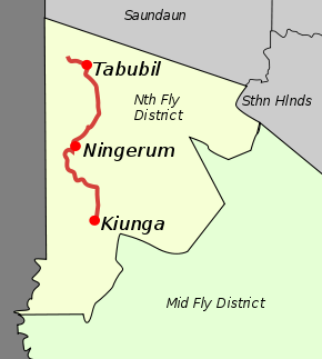
Kiunga is a port town on the Fly River[1] in the Western Province of Papua New Guinea,[2] just upstream from the D'Albertis Junction with the Ok Tedi River.[3] It is the southernmost terminus of the Kiunga-Tabubil Highway. Local industry rests on a cornerstone of freight and haulage, particularly from the Ok Tedi Mine and provisioning for the much larger town of Tabubil. Natural rubber has been an emerging industry more recently, with a processing/manufacturing plant being built in town.[4]
Kiunga | |
|---|---|
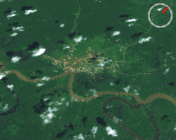 Kiunga township from space | |
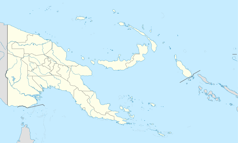 Kiunga Location within Papua New Guinea | |
| Coordinates: 6°7′S 141°18′E | |
| Country | Papua New Guinea |
| Province | Western Province |
| District | North Fly |
| LLG | Kiunga Urban, Kiunga Rural |
| Elevation | 33 m (108 ft) |
| Population (2000) | |
| • Total | 8,265 |
| • Rank | 18th |
| Languages | |
| • Main languages | Tok Pisin, English |
| • Traditional language | Aekyom & Yongom |
| Time zone | UTC+10 (AEST) |
| Climate | Af |
Description
Surrounding swamps and rainforest lowlands are of interest to birdwatchers, with a high chance of observing crowned pigeon, yellow-eyed starling, large fig parrot and flame bowerbird as well as a large variety of more common species.
Kiunga has reliable 24-hour power. Locals are friendly, and there is no significant crime. Dial-up internet access is possible during business hours. Short term accommodation is available. Although Kiunga is accessible by road, this provides access only from Tabubil via the Kiunga-Tabubil Highway.
There are flights to and from the capital, Port Moresby, by both Airlines PNG and Air Niugini. Kiunga weather station readings are available online.[5] Its local geology is clay on limestone.
Population
According to data for 2013, the city's population was 18,747 people.[6] Historical data is listed below.
| 1980 | 1990 | 2000 | 2013 |
|---|---|---|---|
| 1,400 | 4,000 | 8,265 | 18,747 |
See also
References
- Fly River chart folio : Korimoro Point to Kiunga navigation charts : hydrographic survey of the Fly River, Papua New Guinea - Western Province / prepared by Snowy Mountains Engineering Corporation Trove. National Library of Australia
- Lonely Planet
- KIUNGA Town Port along the FLY River in Western Province PNG, Photo by Malum Nalu, on 6-01-2013 geoview.info
- Rubber in Papua New Guinea
- Kiunga PNG National Weather Service.
- Papua New Guinea Census of Population and Housing