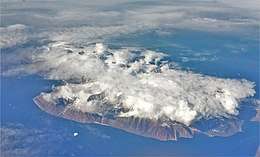
Kiatak
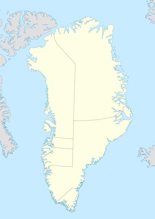
Kiatak or Northumberland Island (Danish: Northumberland Ø), also known as Kujata, is an island off the coast of northern Greenland.[1]
| Native name: Kiatak (Kujata) | |
|---|---|
 | |
 Northumberland Island | |
| Geography | |
| Location | Baffin Bay, Greenland |
| Coordinates | 77°22′N 71°55′W |
| Highest elevation | 1,030 m (3,380 ft) |
| Administration | |
Greenland | |
| Municipality | Avannaata |
| Demographics | |
| Population | uninhabited |
Geography
This relatively large island is part of a small group formed by Kiatak, Herbert Island and Hakluyt Island.[2] The latter is the smallest of the group and lies off Kiatak's western shore. The islands lie off the Inglefield Fjord, between the Murchison Sound to the north and the Hvalsund to the south.[3]
The island was inhabited at the time of Robert Peary's Greenland expeditions in 1886 and 1891–1897.[4]
.jpg) View of a cliff in Hakluyt Island with Kiatak in the background. |
.jpg) 19th century map with Northumberland Island, Herbert Island, Whale Sound and Inglefield Gulf. |
See also
Bibliography
- Peary, Robert (1898). Northward over the great ice : a narrative of life and work along the shores and upon the interior ice-cap of northern Greenland in the years 1886 and 1891-1897, with a description of the little tribe of Smith Sound Eskimos, the most northerly human beings in the world, and an account of the discovery and bringing home of the Saviksue or great Cape York meteorites. New York, NY: F.A. Stokes Company. Book Viewer
References
- Kiatak at GEOnet Names Server
- "Inglefield Bredning". Mapcarta. Retrieved 26 March 2019.
- 1:1,000,000 scale Operational Navigation Chart, Sheet B-8, 3rd edition
- Robert Peary, Northward over the great ice, p. 103
This article is issued from Wikipedia. The text is licensed under Creative Commons - Attribution - Sharealike. Additional terms may apply for the media files.