Kazanskaya, Rostov Oblast
Kazanskaya (Russian: Казанская) is a rural locality (a stanitsa) in Verkhnedonskoy District of Rostov Oblast, Russia, located on the left bank of Don River 360 kilometers (220 mi) from Rostov-on-Don. Population: 4,721 (2010 Census);[1] 4,954 (2002 Census).[4] It is also the administrative center of Verkhnedonskoy District.
Kazanskaya Казанская | |
|---|---|
Location of Kazanskaya 
| |
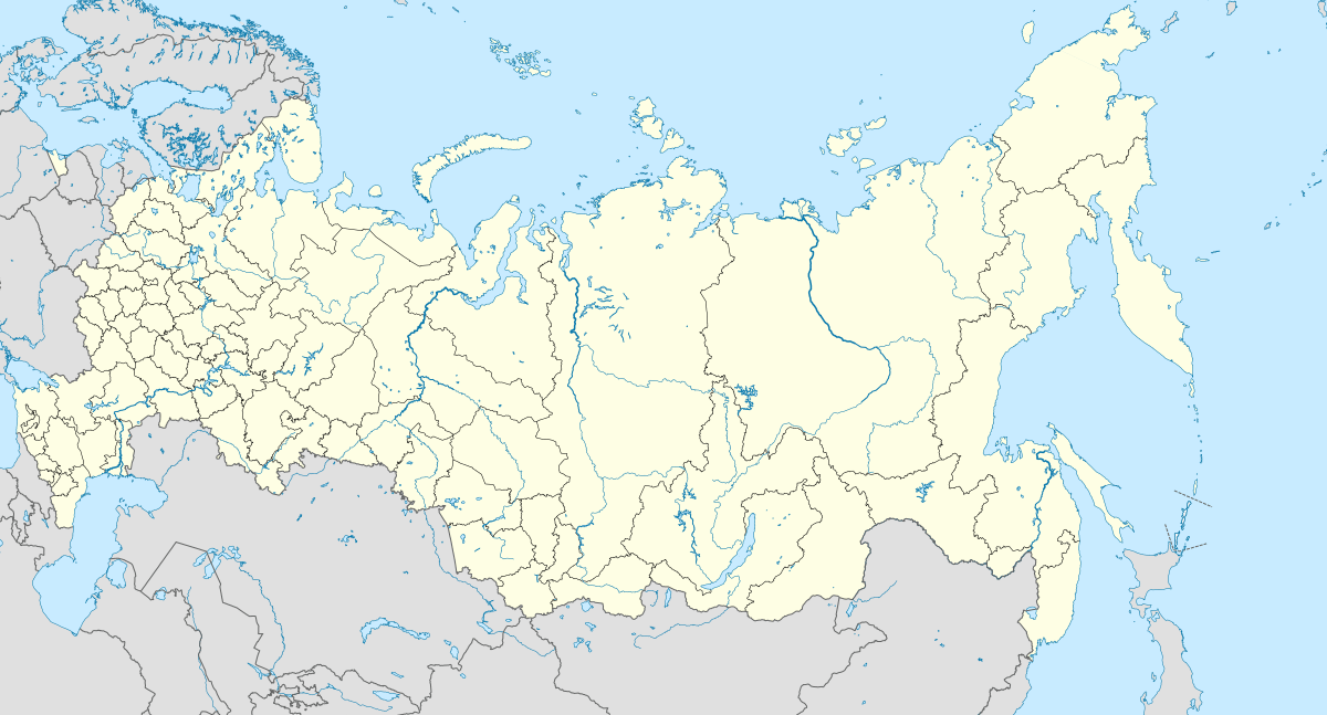 Kazanskaya Location of Kazanskaya  Kazanskaya Kazanskaya (Rostov Oblast) | |
| Coordinates: 49°48′00″N 41°08′08″E | |
| Country | Russia |
| Federal subject | Rostov Oblast[1] |
| Administrative district | Verkhnedonskoy District[1] |
| Population | |
| • Total | 4,721 |
| Time zone | UTC+3 (MSK |
| Postal code(s)[3] | 346170 |
| OKTMO ID | 60608412101 |
Geography
It is situated in northern part of Rostov Oblast on the left bank of Don River close to Vyoshenskaya stanitsa and border with Voronezh Oblast.
History
А map of Southern Russia from Isaac Massa's book printed in 1638 indicates a crossing of the Don river called Casanski Perevoos (Russian: Казанский перевоз, lit. Kazan crossing) on the place of the present settlement. This was probably a crossing on a road from the Don Host to the city of Kazan.
An explorer of the Don Host Oblast and an envoy of Peter I Rigelman referred to the village as being established in 1647. After the victory of Tsar Ivan the Terrible over the Kazan Khanate, where the Cossacks played a key role, he granted them Don lands. These territories were rich in fisheries, with agriculture, viticulture, and trade also being developed rapidly.
In 1690, on the recommendation of Peter I, the Cossacks decided to move their settlement upstream along the Don. Yet at its present place the stanitsa of Kazanskaya was settled only in 1740. It is one of the oldest settlements in Don region.[5]
Kazanskaya was part of Donetsky District of Don Host Oblast.[6]
Places of interest
- Kazanskaya museum of local history
- Church of the Holy Trinity, a Russian Orthodox church built in 1914.[7]
References
- Russian Federal State Statistics Service (2011). "Всероссийская перепись населения 2010 года. Том 1" [2010 All-Russian Population Census, vol. 1]. Всероссийская перепись населения 2010 года [2010 All-Russia Population Census] (in Russian). Federal State Statistics Service.
- "Об исчислении времени". Официальный интернет-портал правовой информации (in Russian). 3 June 2011. Retrieved 19 January 2019.
- Почта России. Информационно-вычислительный центр ОАСУ РПО. (Russian Post). Поиск объектов почтовой связи (Postal Objects Search) (in Russian)
- Russian Federal State Statistics Service (21 May 2004). "Численность населения России, субъектов Российской Федерации в составе федеральных округов, районов, городских поселений, сельских населённых пунктов – районных центров и сельских населённых пунктов с населением 3 тысячи и более человек" [Population of Russia, Its Federal Districts, Federal Subjects, Districts, Urban Localities, Rural Localities—Administrative Centers, and Rural Localities with Population of Over 3,000] (XLS). Всероссийская перепись населения 2002 года [All-Russia Population Census of 2002] (in Russian).
- История Верхнедонского района
- "Казанская, станица Области Войска Донского". Brockhaus and Efron Encyclopedic Dictionary: In 86 Volumes (82 Volumes and 4 Additional Volumes). St. Petersburg. 1890–1907.
- "О храме | Свято-Троицкий храм ст. Казанской". kazankahram.cerkov.ru (in Russian). Retrieved 2017-11-08.