Karugutu, Kenya
Karugutu is a settlement in Kenya's Nyandarua County.[1]
Karugutu | |
|---|---|
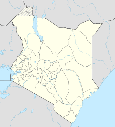 Karugutu Location of Karugutu | |
| Coordinates: 00°20′44″S 36°20′04″E | |
| Country | Kenya |
| County | Nyandarua County |
| Elevation | 2,515 m (8,251 ft) |
| Population | |
| • Total | 2,200 |
| 2018 Estimate | |
| Time zone | UTC+3 (EAT) |
Location
Karugutu is a village, approximately 21 kilometres (13 mi), by road, south-west of Ol Kalou, the location of the district headquarters.[2] This is 68 kilometres (42 mi), by road, east of Nakuru, the nearest large city.[3] The geographical coordinates of Karugutu, Kenya are 0°20'44.0"S, 36°20'04.0"E (Latitude:-0.345556; Longitude:36.334444).[4]
Overview
The village is in a remote location of Nyandarua County, with a population that is of modest means. The community is water challenged and Water Charity, a California-based 501(c)(3) non-profit was in the process of digging a borehole for the community.[1]
Population
In 2018, the population of Karugutu, Kenya, was estimated at 300 households, with a total population of 2,200.[1]
References
- Watercharity.com (2018). "Karugutu Primary School Rainwater Catchment Project – Kenya". Watercharity.com. Retrieved 26 May 2019.
- Globefeed.com (26 May 2019). "Distance between Ol Kalou, Kenya and Karugutu Primary School, Kenya". Globefeed.com. Retrieved 26 May 2019.
- Globefeed.com (26 May 2019). "Distance between Nakuru, Kenya and Karugutu Primary School, Karugutu, Kenya". Globefeed.com. Retrieved 26 May 2019.
- Google (26 May 2019). "Location of Karugutu Village, Nyandarua County, Kenya" (Map). Google Maps. Google. Retrieved 26 May 2019.