Jalapa, Nepal
Jalapa is a village and also the Village Development Committee of Khotang District in the Sagarmatha Zone of eastern Nepal is located here. At the time of the 1991 Nepal census, it had a population of 2,351 persons living in 448 individual households.[1]
Jalapa, Nepal जाल्पा | |
|---|---|
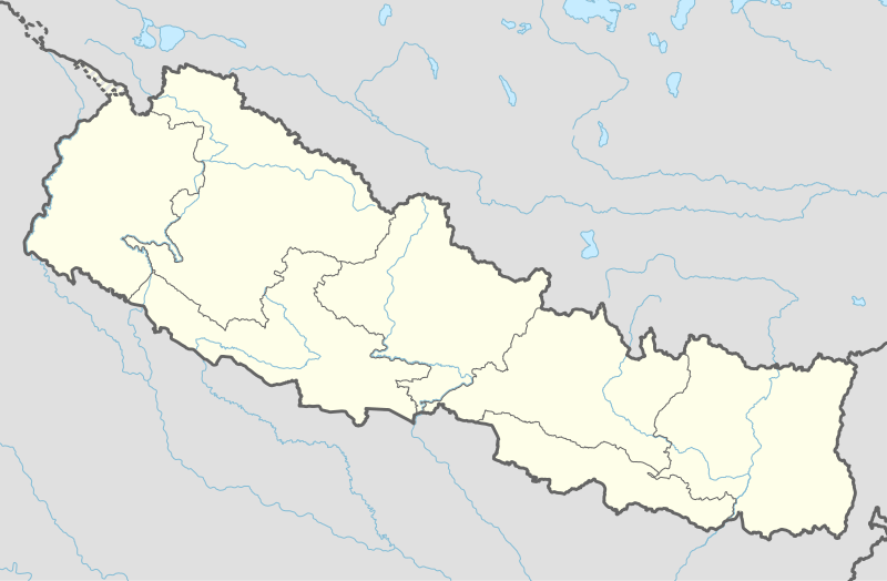 Jalapa, Nepal Location in Nepal | |
| Coordinates: 27.31°N 86.78°E | |
| Country | |
| Zone | Sagarmatha Zone |
| District | Khotang District |
| Population (1991) | |
| • Total | 2,351 |
| Time zone | UTC+5:45 (Nepal Time) |
Jalapa consists of other villages such as Kharbari, Purano Gau and Ghale Gau. Most maps of Nepali does not indicate these villages.
References
- "Nepal Census 2001". Nepal's Village Development Committees. Digital Himalaya. Archived from the original on 12 October 2008. Retrieved 30 September 2008.
External links
Headquarter: Diktel | ||
| Urban Municipality |  | |
| Rural Municipality |
| |
For former VDCs See here | ||
This article is issued from Wikipedia. The text is licensed under Creative Commons - Attribution - Sharealike. Additional terms may apply for the media files.