Inis na Bró
Inishnabro (Irish: Inis na Bró, meaning "island of the quern/bottom grind stone") is one of the Blasket Islands of County Kerry, Ireland.
| Native name: Inis na Bró | |
|---|---|
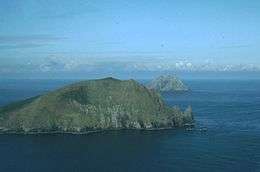 Inis na Bró, with Tearaght Island behind | |
 Inishnabro | |
| Geography | |
| Coordinates | 52.05786°N 10.60913°W |
| Archipelago | Blasket Islands |
| Area | 0.413 km2 (0.159 sq mi) |
| Highest elevation | 175 m (574 ft) |
| Administration | |
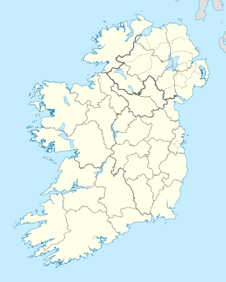
| County | County Kerry |
| Inishnabro | |
|---|---|
| Highest point | |
| Elevation | 175 m (574 ft) [1] |
| Prominence | 175 m (574 ft) [1] |
| Listing | Marilyn |
| Geography | |
| Location | County Kerry, Ireland |
| OSI/OSNI grid | V212930 |
Geography
Inishnabro is separated from Inishvickillane by a narrow sound (ca. 200 metres), and rises to 175 metres, and has an area of 41.3 hectares.
History
Early in 1970s, the U.S. commercial space pioneer Gary Hudson proposed using Inis na Bró as the launching site for a new rocket system.[2] The proposal only became public in 2003, when Irish Government files from the period were released under the 30-year rule.
References
- "Dingle West Area - Inishnabro". MountainViews. Ordnance Survey Ireland. Retrieved June 13, 2015.
- Christopher Winn (2010). I Never Knew That About the Irish. Random House. Retrieved June 13, 2015.
This article is issued from Wikipedia. The text is licensed under Creative Commons - Attribution - Sharealike. Additional terms may apply for the media files.