Indian Mountain LRRS Airport
Indian Mountain LRRS Airport (IATA: UTO, ICAO: PAIM, FAA LID: UTO) is a military airstrip located south of Utopia Creek, in the Yukon–Koyukuk Census Area of the U.S. state of Alaska.[1] The airstrip is also located 15.8 miles (25.4 km) east-southeast of Hughes, Alaska. It is not open for public use.
Indian Mountain LRRS Airport  | |||||||||||
|---|---|---|---|---|---|---|---|---|---|---|---|
| Summary | |||||||||||
| Airport type | Military | ||||||||||
| Owner | U.S. Air Force | ||||||||||
| Location | Utopia Creek, Alaska | ||||||||||
| Elevation AMSL | 1,273 ft / 388 m | ||||||||||
| Coordinates | 65°59′34″N 153°42′14″W | ||||||||||
| Map | |||||||||||
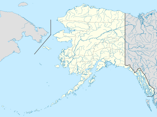 UTO Location of airport in Alaska | |||||||||||
| Runways | |||||||||||
| |||||||||||
Overview
Indian Mountain Airport is a United States Air Force military airstrip. Its mission is to provide access to the Indian Mountain Long Range Radar Station for servicing and other requirements.
The airstrip was constructed in 1952 during the construction of the Indian Mountain Air Force Station. During the station's operational use as a manned radar station, it provided transportation for station personnel and for supplies and equipment to be airlifted to the station. With the manned radar station's closure in 1983, the airstrip now provides access to the unattended site for maintenance personnel and other requirements.
It is not staffed by any support personnel, and is not open to the public. During the winter months, it may be inaccessible due to the extreme weather conditions at the location. [2]
Facilities
Indian Mountain LRRS has one runway designated 6/24 with a gravel surface measuring 4,196 by 148 feet (1,279 x 45 m).[1]
Airlines and destinations
| Airlines | Destinations |
|---|---|
| Everts Air | Fairbanks |
References
- FAA Airport Master Record for UTO (Form 5010 PDF). Federal Aviation Administration. effective 30 June 2011.
-

External links
- FAA Terminal Procedures for UTO, effective August 13, 2020
- Resources for this airport:
- FAA airport information for UTO
- AirNav airport information for PAIM
- ASN accident history for UTO
- FlightAware airport information and live flight tracker
- NOAA/NWS latest weather observations for PAIM
- SkyVector aeronautical chart for UTO
Current military installations in Alaska | |||||||||||
|---|---|---|---|---|---|---|---|---|---|---|---|
| Army |
|  | |||||||||
| Navy |
| ||||||||||
| Air Force |
| ||||||||||
| Coast Guard |
| ||||||||||
| Air Forces |  | |
|---|---|---|
| Bases | ||
| Wings | ||