Indian Creek (Boise River tributary)
Indian Creek is a 66-mile (106 km) long[3] tributary of the Boise River in the U.S. state of Idaho. Beginning at an elevation of 5,047 feet (1,538 m)[2] south of Arrowrock Reservoir in western Elmore County, it flows west into Ada County and through the town of Kuna. It then flows northwest into Canyon County, through Nampa, and finally to its mouth in Caldwell,[5] at an elevation of 2,349 feet (716.0 m).[1] Indian Creek has a 295-square-mile (764 km2) watershed.[4]
| Indian Creek | |
|---|---|
 Indian Creek in Caldwell, Idaho | |
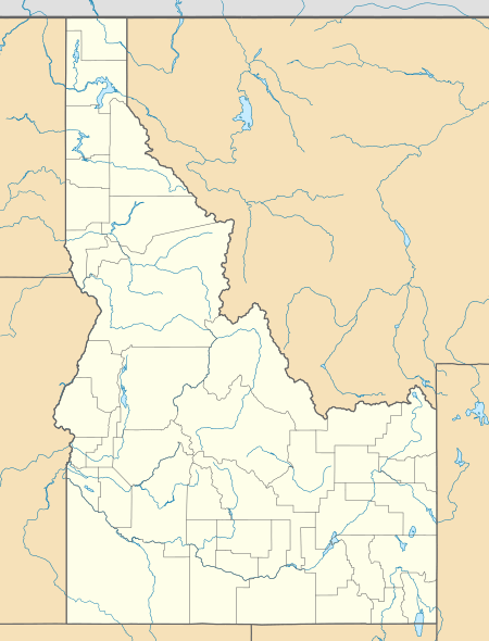 Location of the mouth of Indian Creek in Idaho  Indian Creek (Boise River tributary) (the United States) | |
| Location | |
| Country | United States |
| State | Idaho |
| Counties | Ada County, Idaho, Canyon County, Idaho, Elmore County, Idaho |
| Physical characteristics | |
| Source | |
| • location | south of Arrowrock Reservoir, Elmore County, Idaho |
| • coordinates | 43°25′53″N 115°46′49″W[1] |
| • elevation | 5,047 ft (1,538 m)[2] |
| Mouth | Boise River |
• location | Caldwell, Canyon County, Idaho |
• coordinates | 43°40′39″N 116°42′19″W[1] |
• elevation | 2,349 ft (716 m)[1] |
| Length | 66 mi (106 km)[3] |
| Basin size | 295 sq mi (760 km2)[4] |
References
- "Indian Creek". Geographic Names Information System. United States Geological Survey. June 21, 1979. Retrieved February 10, 2013.
- Source elevation derived from Google Earth search using GNIS source coordinates.
- "National Hydrography Dataset". United States Geological Survey. Retrieved February 10, 2013.
- "Lower Boise River Nutrient & Tributary Subbasin Assessments" (PDF). Idaho Department of Environmental Quality. December 2001. Retrieved February 10, 2013.
- Idaho Road and Recreation Atlas (Map) (2nd ed.). 1:250,000. Benchmark Maps. 2010. pp. 60–61. ISBN 978-0-929591-06-3. OCLC 567571371.
This article is issued from Wikipedia. The text is licensed under Creative Commons - Attribution - Sharealike. Additional terms may apply for the media files.