Independence Peak
Independence Peak or Qullai Istiqlol (Tajik: Қуллаи Истиқлол), at 6,940 m (22,769 ft), is the seventh highest peak in Pamir Mountains,[2] located at the center of Tajikistan's Gorno-Badakhshan Autonomous Province, above the source of Yazgulem River in the Yazgulem Range. The mountain consists of three snow and ice covered summits and its northwest face is the source of the Fedchenko Glacier. The peak was originally named Dreispitz by a joint Russian-German team who discovered it in 1928, but failed to climb it due to deep snow and avalanche danger. The first ascent was made in 1954 by a Russian team led by A. Ugarov.
| Independence Peak | |
|---|---|
| Revolution Peak | |
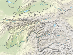 Independence Peak Location in Tajikistan | |
| Highest point | |
| Elevation | 6,940 m (22,770 ft) [1] |
| Prominence | 2,402 m (7,881 ft) [1] |
| Listing | Ultra |
| Coordinates | 38°30′36″N 72°21′15″E [1] |
| Geography | |
| Location | GBAO, Tajikistan |
| Parent range | Pamir Mountains |
| Climbing | |
| First ascent | 1954, by A. Ugarov et al. |
| Easiest route | glacier/snow climb |
After World War II Dreispitz was renamed Revolution Peak (Tajik: Қуллаи Инқилоб, Qullai Inkilob) and in July 2006 it was given its current name Independence Peak.
See also
References
- "The Central Asian Republics: Ultra-Prominence Page". Peaklist.org. Retrieved 2014-05-26.
- High Asia - All mountains and main peaks above 6650 m www.8000ers.com. Retrieved 2017-02-05
External links
- A description of Revolution Peak and its surroundings, with images
- "Revolution Peak". Peakware.com. Archived from the original on 2016-03-04.
- Revolution Peak renamed Independence Peak by Resolution No. 297 of the Government of the Republic of Tajikistan, July 4, 2006.