Huslia River
The Huslia River is a 100-mile (160 km) tributary of the Koyukuk River in the U.S. state of Alaska.[1] The river begins at the confluence of its north and south forks and flows generally southeast across the Koyukuk National Wildlife Refuge to meet the larger river near the community of Huslia.[3]
| Huslia River | |
|---|---|
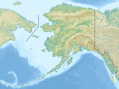 Location of the mouth of the Huslia River in Alaska | |
| Location | |
| Country | United States |
| State | Alaska |
| Census Area | Yukon–Koyukuk |
| Physical characteristics | |
| Source | confluence of the river's north and south forks |
| • location | Koyukuk National Wildlife Refuge |
| • coordinates | 65°56′42″N 156°40′38″W[1] |
| • elevation | 162 ft (49 m)[2] |
| Mouth | Koyukuk River[1] |
• location | 5 miles (8 km) northwest of Huslia |
• coordinates | 65°44′18″N 156°32′21″W[1] |
• elevation | 151 ft (46 m)[1] |
| Length | 100 mi (160 km)[1] |
See also
References
- "Huslia River". Geographic Names Information System. United States Geological Survey. March 31, 1981. Retrieved October 20, 2013.
- Derived by entering source coordinates in Google Earth.
- Alaska Atlas & Gazetteer (7th ed.). Yarmouth, Maine: DeLorme. 2010. p. 133. ISBN 978-0-89933-289-5.
This article is issued from Wikipedia. The text is licensed under Creative Commons - Attribution - Sharealike. Additional terms may apply for the media files.