Helgoland Island
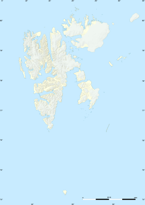
Helgoland Island[1][2][3] (Norwegian: Helgolandøya) is an island in the Svalbard archipelago, one of the islands of Kong Karls Land. It is located in the bay of Breibukta of Kongsøya. The island is named after the vessel Helgoland.[4][5]
| Native name: Helgolandøya | |
|---|---|
 Helgoland Island | |
| Geography | |
| Coordinates | 78.7889°N 28.6614°E |
| Area | 13 km2 (5.0 sq mi) |
| Administration | |
Norway | |
See also
References
- National Geospatial-Intelligence Agency: Geographical Names.
- Mills, William James. 2003. Exploring Polar Frontiers: A Historical Encyclopedia. Volume 1: A–L. Santa Barbara, CA: ABC Clio, p. 348.
- Sailing Directions for the Northwest and North Coasts of Norway. 1931. Washington, DC: U.S. Government Printing Office, p. 395.
- "Helgolandøya (Svalbard)". Norwegian Polar Institute. Retrieved 10 July 2013.
- Arctic Pilot: Sailing directions Svalbard–Jan Mayen. 7. Stavanger: The Norwegian Hydrographic Service and The Norwegian Polar Institute. 1988. p. 385. ISBN 82-90653-06-9.
This article is issued from Wikipedia. The text is licensed under Creative Commons - Attribution - Sharealike. Additional terms may apply for the media files.