Haggits Pillar
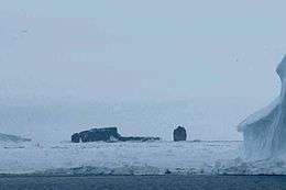
Haggits Pillar is a stack 203 feet (62 m) high in the South Pacific Ocean at the northwestern edge of the Ross Sea, lying 250 metres (270 yd) west of Scott Island and some 500 kilometres (310 mi) north-northeast of Cape Adare, Victoria Land, Antarctica. It measures 50 metres (55 yd) in diameter, yielding an area of less than 0.2 hectares (0.5 acres).
 Scott Island and Haggits Pillar | |
 Haggits Pillar | |
| Geography | |
|---|---|
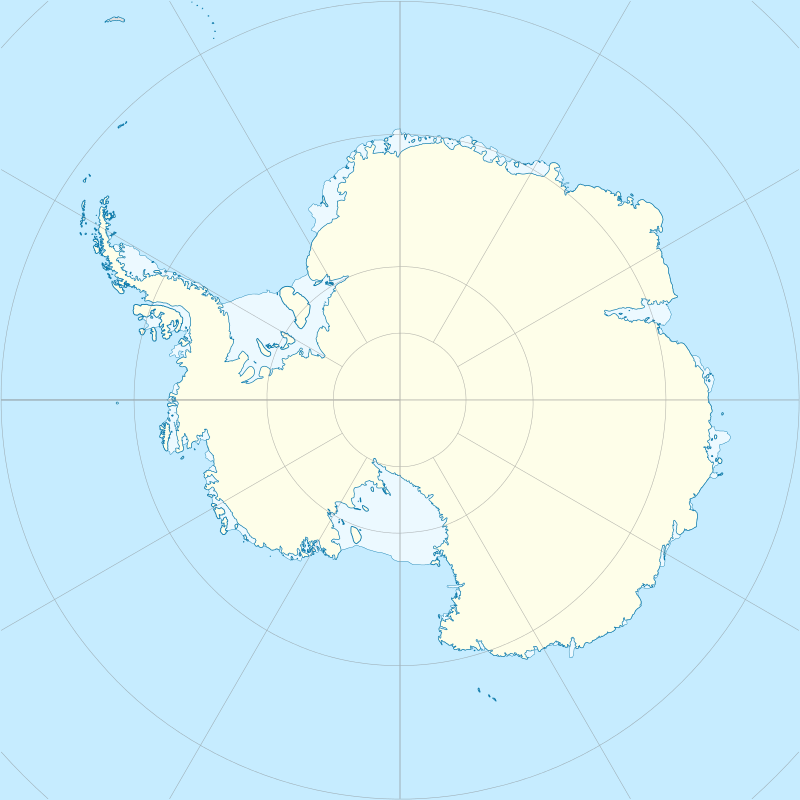
| Location | Antarctica |
| Coordinates | 67°24′S 179°55′W |
| Area | 0.2 ha (0.49 acres) |
| Length | 165 ft (50.3 m) |
| Width | 165 ft (50.3 m) |
| Administration | |
| Administered under the Antarctic Treaty System | |
| Demographics | |
| Population | 0 |
It was discovered on 25 December 1902 by Captain William Colbeck, Royal Navy Reserve, commander of the SY Morning, relief ship to the British National Antarctic Expedition (BrNAE), 1901–1904, under Robert Falcon Scott. The name was used on official charts of the BrNAE drawn by Lieutenant George F.A. Mulock.[1]
See also
- Composite Antarctic Gazetteer
- List of Antarctic islands south of 60° S
- Scientific Committee on Antarctic Research
- Scott Island
- Territorial claims in Antarctica
References
- "Haggits Pillar". Geographic Names Information System. United States Geological Survey. Retrieved 2012-05-14.
![]()