Gottleuba Dam
The Gottleuba Dam is the second highest dam in Saxony, Germany. It serves as a reservoir for water supply for the town Pirna and provides flood protection, but energy production is small. The dam was built between 1965 and 1974. It is located at the northern foot of the Erzgebirge, southwest of Bad Gottleuba. It dams up the Gottleuba (Czech: Rybný potok) river.
| Gottleuba Dam | |
|---|---|
.jpg) | |
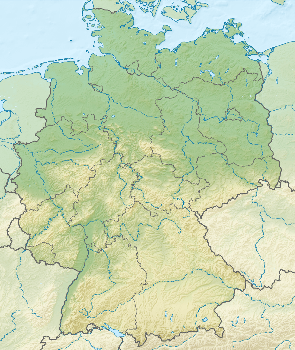 Location of Gottleuba Dam in Germany | |
| Country | Germany |
| Location | Sächsische Schweiz-Osterzgebirge, Saxony |
| Coordinates | 50°50′04″N 13°55′51″E |
| Construction began | 1965 |
| Opening date | 1976 |
| Dam and spillways | |
| Impounds | Gottleuba |
| Height | 53.2 m (174.5 ft) |
| Length | 327 m (1,073 ft) |
| Width (crest) | 7 m (23 ft) |
| Dam volume | 270,000 m3 (9,500,000 cu ft) |
| Spillway capacity | 176 m3/s (6,215 cu ft/s) |
| Reservoir | |
| Total capacity | 14.02 hm3 (11,370 acre⋅ft) |
| Catchment area | 35.3 km2 (13.6 sq mi) |
| Surface area | 660,000 m2 (7,104,181 sq ft) |
| Power Station | |
| Type | Conventional |
| Installed capacity | 53 KW |
Above the concrete dam is a lookout point. The dam is not accessible to the public. Bathing and leisure sport in the lake is not allowed, since it is for drinking water. Entry around the lake is allowed.
See also
- Reservoirs and dams in Germany
External links
This article is issued from Wikipedia. The text is licensed under Creative Commons - Attribution - Sharealike. Additional terms may apply for the media files.