Geographical Society Island
Geographical Society Island (Danish: Geografisk Samfund Ø) is an island off Foster Bay in northeastern Greenland.
| Geografisk Samfund Ø (Danish) | |
|---|---|
 View of Geographical Society Island. | |
 Geographical Society Island | |
| Geography | |
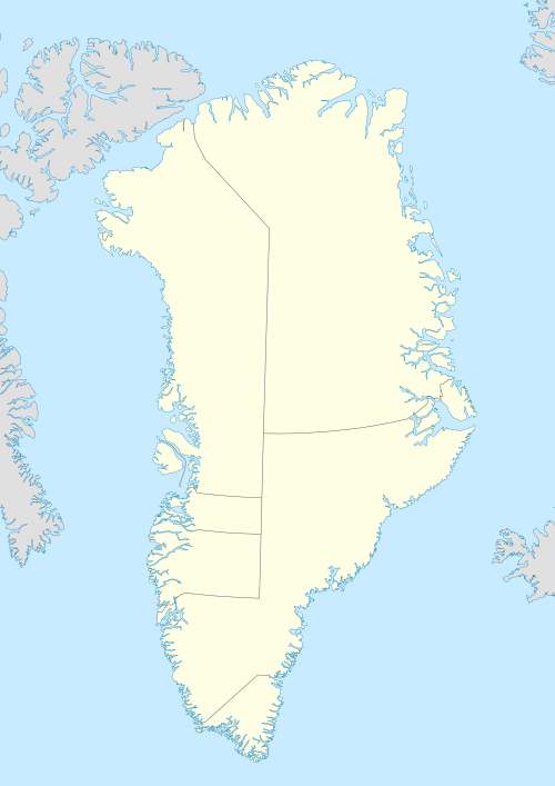
| Location | East Greenland |
| Coordinates | 72°56′N 23°5′W |
| Area | 1,717 km2 (663 sq mi) |
| Highest elevation | 1,730 m (5,680 ft) |
| Highest point | Svedenborg Bjerg[1] |
| Administration | |
Greenland | |
| Demographics | |
| Population | 0 |
Geography
The island has an area of 1,717 km².[2] It is mountainous with Svedenborg Fjeld as the highest point at 1,730 m. To the north lies the mouth of the Kaiser Franz Joseph Fjord with Ymer Island to the NW and smaller Bantekoe Island to the NE in Foster Bay. To the south lies Traill Island, separated by a narrow sound, the Vega Sound. In the west, over King Oscar Fjord lies Ella Island.
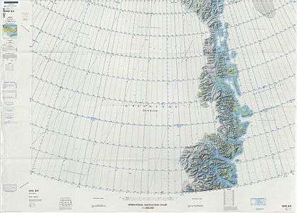
Map of Northeastern Greenland
Geology
From west to east, the rocks constituting the island are sandstone of roughly Devonian, Carboniferous and Cretaceous age, and some smaller areas with Triassic and Jurassic sandstone.[3]
See also
References
- "Svedenborg Bjerg, Greenland". Peakbagger.com.
- UNEP
- "Segment 12". Archived from the original on 2017-09-21. Retrieved 2007-09-24.
External links

This article is issued from Wikipedia. The text is licensed under Creative Commons - Attribution - Sharealike. Additional terms may apply for the media files.