Gambhiraopet
Gambhiraopet is a village in Gambhiraopet mandal of Rajanna Sircilla district in the state of Telangana in India.[1]
Gambhiraopet | |
|---|---|
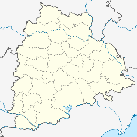 Gambhiraopet Location in Telangana, India  Gambhiraopet Gambhiraopet (India) | |
| Coordinates: 18.3000°N 78.5833°E | |
| Country | |
| State | Telangana |
| District | Rajanna Sircilla |
| Talukas | Gambhiraopet |
| Elevation | 421 m (1,381 ft) |
| Population | |
| • Total | 20,986 |
| Languages | |
| • Official | Telugu& Urdu |
| Time zone | UTC+5:30 (IST) |
| PIN | 505304 |
| Telephone code | 08723 |
| Vehicle registration | TS |
| Website | telangana |
Geography
Gambhiraopet is located at 18.3000°N 78.5833°E.[2] It has an average elevation of 421 metres (1,381 ft) above mean sea level.
References
- "District Profile Sircilla District". Rajanna Sircilla District. Government of Telangana. Retrieved 19 February 2019.
- Falling Rain Genomics.Gambhiraopet
This article is issued from Wikipedia. The text is licensed under Creative Commons - Attribution - Sharealike. Additional terms may apply for the media files.