Fort Strother
Fort Strother was a stockade fort at Ten Islands in the Mississippi Territory, in what is today St. Clair County, Alabama. It was located on a bluff of the Coosa River, near the modern Neely Henry Dam in Ragland, Alabama.[3] The fort was built by General Andrew Jackson and several thousand militiamen in November 1813, during the Creek War and was named for Captain John Strother, Jackson's chief cartographer.[4] The fort was rectangular in shape and had blockhouses at each corner. It also included a supply building, eight hospital huts, and twenty-five tents.[5]
Fort Strother Site | |
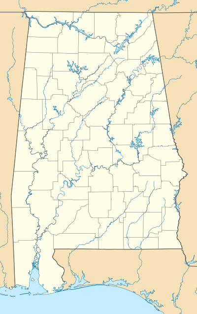
 Map of Alabama during the War of 1812[1] | |
  | |
| Nearest city | Ragland, Alabama |
|---|---|
| Coordinates | 33°45′49″N 86°02′51″W |
| Area | 334 acres (135 ha) |
| Built | 1813 |
| NRHP reference No. | 72001440[2] |
| Added to NRHP | July 24, 1972 |
On November 1, 1813, General Jackson reached the area of Ten Islands and began construction of Fort Strother. While constructing the fort, Jackson received news of a large number of Red Sticks that were in the village of Tallasseehatchee. He instructed General John Coffee to attack the village, resulting in the Battle of Tallushatchee.[6] After the Battle of Tallushatchee, Red Stick warriors under the command of William Weatherford surrounded Fort Leslie and demanded that the inhabitants join in fighting against the United States. One of the occupants escaped and was able to reach Fort Strother and inform Jackson of the siege. Jackson ordered James White and his soldiers to guard Fort Strother while he proceeded to Fort Leslie. Instead, General John Alexander Cocke ordered White to proceed to the Hillabee towns and destroy them. Nevertheless, Jackson marched to Fort Leslie and fought the Battle of Talladega.[7]
Jackson struggled with keeping Fort Strother supplied through the winter of 1813, despite it being connected to Fort Deposit on the Tennessee River by a 55-mile long supply road.[8] Some of the Tennessee soldiers stationed at Fort Strother became disgruntled and felt their obligation to serve had been fulfilled. These soldiers deserted their posts, but were recaptured or chose to voluntarily return, Even so, six were executed.[9] Supplies began to arrive from Fort Deposit and Fort Armstrong, along with additional reinforcements. With these new volunteers, Jackson set out to fight the Red Sticks at the large encampment at Tohopeka, but was instead attacked en route at the Battles of Emuckfaw and Enotachopo Creek.[10] Returning to Fort Strother, Jackson continued to enlarge his forces with additional soldiers and supplies. In March 1814, Jackson set out for Tohopeka and established Fort Williams. From there, his forces marched to Tohopeka and fought the Battle of Horseshoe Bend on March 27, 1814.[11]
Members of the 1st and 2nd Regiment East Tennessee Volunteer Militia were stationed at Fort Strother, some under the command of Samuel Wear.[12] Members of the Cherokee tribe were also stationed at Fort Strother.[13]
An inscribed stone marker near Highway 144, erected by the county, records a brief history of the fort.[14] The fort site was listed on the National Register of Historic Places in 1972.[2] St. Clair County acquired the property in 2012.[15] The exact location of the fort is not known, but the site of a cemetery and camp have been confirmed by archaeological investigations.[16]
References
- Lossing, Benson (1868). The Pictorial Field-Book of the War of 1812. Harper & Brothers, Publishers. p. 778.
- "National Register Information System". National Register of Historic Places. National Park Service. July 9, 2010. Retrieved April 7, 2014.
- U.S. Geological Survey Geographic Names Information System: Fort Strother (historical)
- Smith, Jerry. "Pieces of History". Discover St. Clair. Retrieved 9 August 2020.
- Harris, W. Stuart (1977). Dead Towns of Alabama. Tuscaloosa, Alabama: University of Alabama Press. p. 52. ISBN 0-8173-1125-4.
- Braund, Kathryn E. Holland (2012). Tohopeka: Rethinking the Creek War & the War of 1812. Tuscaloosa, Alabama: University of Alabama Press. p. 112. ISBN 978-0-8173-5711-5.
- Blackmon, Richard (2014). The Creek War 1813-1814 (PDF). Center of Military History. p. 21.
- Braund 2012, p. 206.
- Braund 2012, p. 163.
- Braund 2012, p. 116.
- Blackmon 2014, p. 33.
- Kanon, Tom. "Regimental Histories of Tennessee Units During the War of 1812". Tennessee State Library and Archives. State of Tennessee. Retrieved 9 August 2020.
- Braund 2012, p. 126.
- "Fort Strother Marker". St. Clair County, Alabama. The Historical Marker Database. Retrieved 18 January 2011.
- Vernon, EJ (June 14, 2012). "St. Clair to acquire 80 percent of Fort Strother". St. Clair News-Aegis. Retrieved April 7, 2014.
- Braund 2012, p. 252.
External link
- Fort Strother articles from the Pell City Public Library