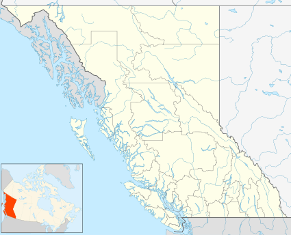
Fauquier, British Columbia
Fauquier (/foʊˈkɪər/)[3] is a community, unincorporated place and former steamer landing in the Regional District of Central Kootenay, British Columbia, Canada.[1][4] It is located on the east side of Lower Arrow Lake along Highway 6, where the Needles Ferry links to the west side of the lake.
Fauquier | |
|---|---|
Community | |
| Etymology: Named for F.G. Fauquier | |
 Fauquier Location in British Columbia | |
| Coordinates: 49°52′15″N 118°04′15″W[1] | |
| Country | Canada |
| Province | British Columbia |
| Regional District | Central Kootenay |
| Elevation | 480 m (1,570 ft) |
| Time zone | UTC-8 (Pacific Time Zone) |
| • Summer (DST) | UTC-7 (Pacific Time Zone) |
| Area code(s) | 250 |
Name origin
The community was named for F.G. Fauquier, who held the position of Gold Commissioner for the Arrow Lakes Mining Division about 1885. He was a pioneer rancher and fruit grower and the son of Bishop Fauquier of the Diocese of Algoma in Ontario. As Gold Commissioner his duties including serving as government agent, mining recorder, and customs officer. He was the first police officer for Nakusp.[1]
Climate
| Climate data for Fauquier, British Columbia | |||||||||||||
|---|---|---|---|---|---|---|---|---|---|---|---|---|---|
| Month | Jan | Feb | Mar | Apr | May | Jun | Jul | Aug | Sep | Oct | Nov | Dec | Year |
| Record high °C (°F) | 13.0 (55.4) |
15.0 (59.0) |
20.0 (68.0) |
31.1 (88.0) |
36.1 (97.0) |
35.5 (95.9) |
38.9 (102.0) |
38.3 (100.9) |
35.0 (95.0) |
25.0 (77.0) |
19.4 (66.9) |
12.2 (54.0) |
38.9 (102.0) |
| Average high °C (°F) | −0.5 (31.1) |
2.3 (36.1) |
7.5 (45.5) |
13.7 (56.7) |
18.7 (65.7) |
22.3 (72.1) |
25.7 (78.3) |
25.2 (77.4) |
19.1 (66.4) |
11.3 (52.3) |
4.5 (40.1) |
0.3 (32.5) |
12.5 (54.5) |
| Daily mean °C (°F) | −2.9 (26.8) |
−0.8 (30.6) |
2.9 (37.2) |
7.6 (45.7) |
12.1 (53.8) |
15.7 (60.3) |
18.4 (65.1) |
18.0 (64.4) |
13.0 (55.4) |
7.0 (44.6) |
1.8 (35.2) |
−2.0 (28.4) |
7.6 (45.7) |
| Average low °C (°F) | −5.4 (22.3) |
−4.0 (24.8) |
−1.6 (29.1) |
1.4 (34.5) |
5.5 (41.9) |
9.0 (48.2) |
10.9 (51.6) |
10.7 (51.3) |
6.8 (44.2) |
2.7 (36.9) |
−0.8 (30.6) |
−4.2 (24.4) |
2.6 (36.7) |
| Record low °C (°F) | −31.7 (−25.1) |
−27.8 (−18.0) |
−21.1 (−6.0) |
−11.1 (12.0) |
−4.4 (24.1) |
−1.1 (30.0) |
1.7 (35.1) |
0.6 (33.1) |
−6.7 (19.9) |
−12.5 (9.5) |
−20.0 (−4.0) |
−29.4 (−20.9) |
−31.7 (−25.1) |
| Average precipitation mm (inches) | 70.4 (2.77) |
47.2 (1.86) |
50.9 (2.00) |
55.8 (2.20) |
65.8 (2.59) |
74.5 (2.93) |
63.7 (2.51) |
53.7 (2.11) |
51.3 (2.02) |
56.0 (2.20) |
74.3 (2.93) |
77.7 (3.06) |
741.3 (29.19) |
| Source: 1971-2000 Environment Canada[5] | |||||||||||||
See also
References
- "Fauquier, British Columbia". BC Geographical Names.
- "Google Earth". Retrieved 2018-09-07.
- The Canadian Press (2017), The Canadian Press Stylebook (18th ed.), Toronto: The Canadian Press
- "Fauquier". Geographical Names Data Base. Natural Resources Canada. Retrieved 2018-09-07.
- "Canadian Climate Normals 1971-2000". Environment Canada. Retrieved November 11, 2012.
This article is issued from Wikipedia. The text is licensed under Creative Commons - Attribution - Sharealike. Additional terms may apply for the media files.