Doğrugöz
Doğrugöz (formerly Eğrigöz) is a town in Konya Province, Turkey.
Doğrugöz Eğrigöz | |
|---|---|
Town | |
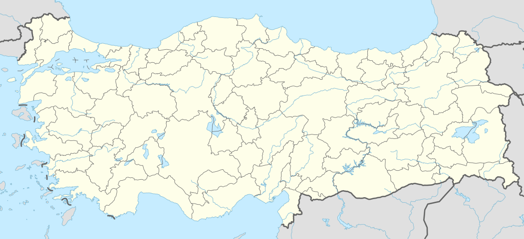 Doğrugöz Location in Turkey | |
| Coordinates: 38°21′N 31°27′E | |
| Country | |
| Province | Konya Province |
| District | Akşehir |
| Town (belde) | 1959 |
| Government | |
| • Body | Doğrugöz Municipality |
| • Mayor | Osman Fedai |
| Elevation | 1,000 m (3,280 ft) |
| Population (2011) | |
| • Total | 4,066 |
| Time zone | UTC+2 (EET) |
| • Summer (DST) | UTC+3 (EEST) |
| Area code(s) | 0332 |
Geography
The town at 38°21′N 31°27′E is a town in Akşehir district, which itself is a part of Konya Province. It is 5 kilometres (3.1 mi) at the east of Akşehir. It is situated between a mountain range and a partially dried up lake. It is about 3.5 kilometres (2.2 mi) north east of Sultan Mountains and 14 kilometres (8.7 mi) south of Lake Akşehir. The population is 4066 [1] as of 2011.
History
The vicinity of the town was probably inhabited during the Roman Empire era. Beginning by the Turkish domination in the 12th century, a han (a type of caravanserai) was built in the present location of the town. First inhabitant of the town was a certain Ali Baba who was responsible in running the han. Soon a village was established. The earliest names of the village were Eğriöz and Eğrigöz. After the event of Cimri (attempted coup) in 1277 the population of the village increased by the newcomers. [2]
The village was declared township in 1959 and the town was renamed as Doğrugöz in 1980.
Economy
Most of the town's agricultural area is composed of fruit orchards. The most important crops are cherries and sour cherries.
References
- "Turkstat". Turkish Statistical Institute. Archived from the original on 2013-09-27. Retrieved 16 September 2011.
- "Mayor's page" (in Turkish). Mayor. Archived from the original on 30 September 2011. Retrieved 16 September 2011.