Devoldkalven
Devoldkalven is a 2,215 metres (7,267 ft) high nunatak in the Sør Rondane Mountains located near Devold Peak in the high section of Byrdbreen. It was mapped by Norwegian cartographers in 1988 and named for Hallvard Devold, who with Hjalmar Riiser-Larsen and Olav Kjelbotn attempted the exploration of the Princess Ragnhild Coast by dog sledge in 1933.[1]
| Devoldkalven | |
|---|---|
 Devoldkalven | |
| Highest point | |
| Elevation | 2,215 m (7,267 ft) |
| Coordinates | 72°21′0″S 27°4′30″E |
| Geography | |
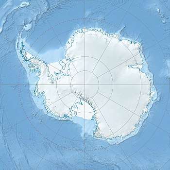
| Location | Princess Ragnhild Coast, Queen Maud Land |
| Parent range | Sør Rondane Mountains |
This article is issued from Wikipedia. The text is licensed under Creative Commons - Attribution - Sharealike. Additional terms may apply for the media files.