Debre Sina, Ethiopia
Debre Sina is a town in Amhara, Ethiopia. Located in Semien Wollo (North Wollo) in the Amhara Region (or kilil), this town has a latitude and longitude of 9°51′N 39°36′E with an elevation of 2630 to 2830 meters above sea level. Although the district was named after this town, the administrative center of the Debre Sina district is located in Mekane Selam. Debre Sina is located along Ethiopian Highway 2. Just west of Debre Sina, the national highway reaches its highest point at 3120 meters above sea level. Just below the top of the pass, a tunnel was constructed by the Italians in 1938. During the Italian occupation, the pass was referred to as the "passo Mussolini".
Debre Sina | |
|---|---|
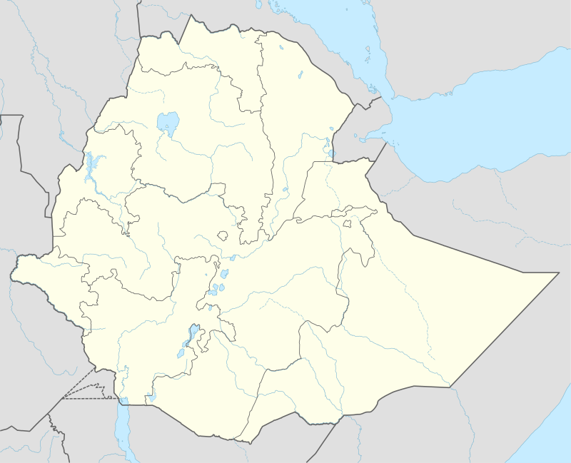 Debre Sina Location within Ethiopia | |
| Coordinates: 9°51′N 39°36′E | |
| Country | Ethiopia |
| Region | Amhara |
| Zone | Semien Wollo Zone |
| District | Debre Sina |
| Elevation | 2,700 m (8,900 ft) |
| Time zone | UTC+3 (EAT) |
Hydrologically, Debre Sina is located in the Afar endoreic basin. Just to the west of Debre Sina, the passo Mussolini crosses the continental divide into the Jamma River basin.
See also
Notes
References
- A Shack, William (1974). The central Ethiopians : Amhara, Tigriéna and related peoples (1st ed.). London: Routledge. ISBN 9781315307718.
- McCarty, Lauren (2015), "The 'ENGINE' Behind Improved Nutrition in Ethiopia", Foreign Aid Impact in U.S. and Abroad, USAID FrontLines