Dan River
The Dan River flows 214 miles (344 km)[5] in the U.S. states of North Carolina and Virginia. It rises in Patrick County, Virginia, and crosses the state border into Stokes County, North Carolina. It then flows into Rockingham County. From there it back into Virginia through only Pittsylvania County before reentering North Carolina near the border between Caswell County and Rockingham County. It flows into northern Caswell County and then back into southern Virginia (briefly Pittsylvania County, then into Halifax County) and finally into Kerr Reservoir on the Roanoke River.
| Dan River Tributary to Roanoke River | |
|---|---|
 View of the Dan River, Danville, Virginia | |
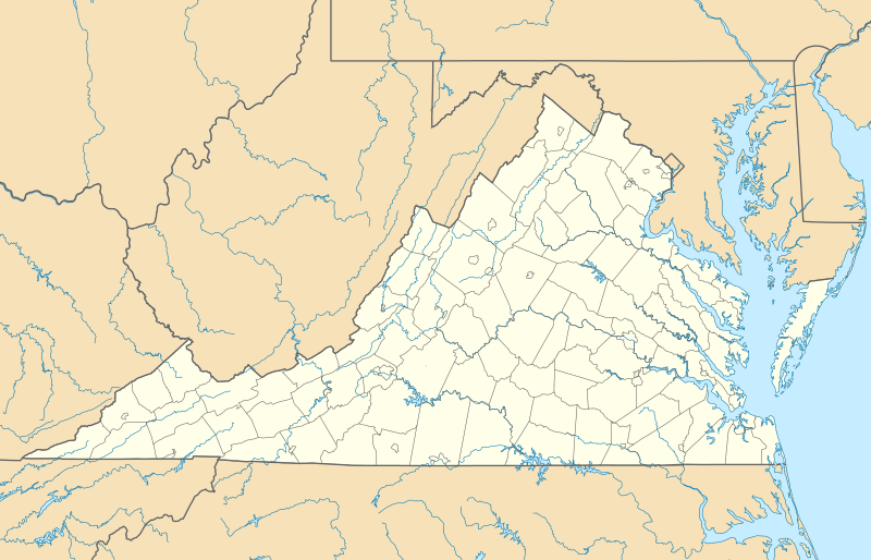 Location of the mouth of Dan River  Dan River (the United States) | |
| Location | |
| Country | United States |
| States | Virginia North Carolina |
| Counties (Virginia) | Floyd Halifax Mecklenburg Patrick Pittsylvania |
| Counties (North Carolina) | Caswell Rockingham Stokes |
| Physical characteristics | |
| Source | divide between Dan River, Smith River and New River |
| • location | about 2 miles northeast of Rock Castle Gap[1] |
| • coordinates | 36°46′41″N 080°21′54″W[2] |
| • elevation | 3,170 ft (970 m) |
| Mouth | John H. Kerr Reservoir (Roanoke River) |
• location | Stanton River State Park |
• coordinates | 36°39′22″N 078°35′55″W[2] |
• elevation | 300 ft (91 m) |
| Length | 214 mi (344 km)[3] |
| Basin size | 3,300 square miles (8,500 km2)[3] |
| Discharge | |
| • location | Stanton River State Park (John H. Kerr Reservoir) |
| • average | 4,136.06 cu ft/s (117.120 m3/s) at John H. Kerr Reservoir[4] |
| Basin features | |
| Progression | generally east |
| River system | Roanoke River |
| Tributaries | |
| • left | Ivy Creek Roaring Creek Coxes Branch Lickskillet Branch Little Dan River Peters Creek Bonds Branch Newman Branch Seven Island Creek Snow Creek Blackies Branch Reed Creek Beaver Island Creek Mayo River Buffalo Creek Matrimony Creek Smith River Covenant Branch Cascade Creek Trotters Creek Childress Creek Sandy River Fall Creek Barkers Branch Hances Branch Coy Creek Cane Creek Mineral Springs Branch Sandy Creek Wolfe Creek Barker Creek Double Creek Byrds Branch Toby Creek Little Toby Creek Birch Creek Miry Creek Pond Branch Poplar Creek Reedy Creek Banister River Peter Creek |
| • right | Quaker Field Branch Toggle Creek Mill Creek Round Meadow Squall Creek Squirrel Creek Fall Creek Big Branch Big Creek Double Creek Cascade Creek Indian Creek Scott Branch Town Fork Creek Belews Creek Hogans Creek Jacobs Creek Massy Creek Roach Creek Fishing Creek Town Creek Rock Creek White Oak Creek Williamson Creek Wolf Island Creek Jackson Branch Pumpkin Creek Hogans Creek Moon Creek Rattlesnake Creek Little Rattlesnake Creek Country Line Creek Winns Creek Powells Creek Chalmers Creek Locust Creek Lawsons Creek Perrin Creek Grassy Creek Hyco River Aarons Creek |
| Waterbodies | Cockrum Millpond John H. Kerr Reservoir |
The name of the river was first recorded by William Byrd II in 1728, during an expedition to survey the Virginia border, though Byrd did not explain the reason for the name.[6] A variant name is "South Branch Roanoke River".[7]
In 2014, in an event called the 2014 Dan River coal ash spill a large amount of coal ash spilled into the river, prompting a cleanup process costing an estimated $300 million.[8]
Dan River is also the name of the southeastern political district of Pittsylvania County, where a small section of the river serves as the boundary between Pittsylvania County and the city of Danville.
References
- "Danville Historic District Topo Map, Danville (city) County VA (Danville Area)". TopoZone. Locality, LLC. Archived from the original on 20 July 2019. Retrieved 20 July 2019.
- "GNIS Detail - Dan River". geonames.usgs.gov. US Geological Survey. Retrieved 20 July 2019.
- "General Info - Dan River Basin Association - Dan River Basin Association". www.danriver.org. Dan River Basin Association. Archived from the original on 20 July 2019. Retrieved 20 July 2019.
- "Dan River Watershed Report". Waters Geoviewer. US EPA. Retrieved 20 July 2019.
- "The National Map". U.S. Geological Survey. Archived from the original on April 5, 2012. Retrieved Feb 14, 2011.
- "Early Danville History". Danville Historical Society. Archived from the original on 19 September 2015. Retrieved 10 September 2015.
- U.S. Geological Survey Geographic Names Information System: Dan River
- Jarvis, Craig (November 26, 2014). "Dan River coal ash spill damage could top $300 million". News & Observer. Archived from the original on December 28, 2014.
External links
| Wikimedia Commons has media related to Dan River (Virginia/North Carolina). |
| Authority control |
|
|---|