D'Urville Island, Antarctica
D'Urville Island is an island of Antarctica. It is the northernmost island of the Joinville Island group, 27 kilometres (17 mi) long, lying immediately north of Joinville Island, from which it is separated by Larsen Channel.
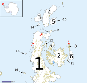 Map of Graham Land, showing D'Urville Island (3) | |
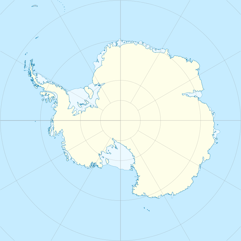 D'Urville Island, Antarctica Location in Antarctica | |
| Geography | |
|---|---|
| Location | Antarctica |
| Coordinates | 63°05′S 56°20′W |
| Archipelago | Joinville Island group |
| Area | 455.3 km2 (175.8 sq mi) |
| Length | 27 km (16.8 mi) |
| Administration | |
| Administered under the Antarctic Treaty System | |
| Demographics | |
| Population | Uninhabited |
The single island was charted in 1902 by the Swedish Antarctic Expedition under Otto Nordenskiöld, who named it for Captain Jules Dumont d'Urville, French explorer who discovered land in the Joinville Island group.
See also
- Composite Antarctic Gazetteer
- List of Antarctic and sub-Antarctic islands
- List of Antarctic islands south of 60° S
- SCAR
- Territorial claims in Antarctica
References
External links
This article is issued from Wikipedia. The text is licensed under Creative Commons - Attribution - Sharealike. Additional terms may apply for the media files.