Dún Fearbhaí
Dún Fearbhaí [d̪ˠuːnˠ ˈfʲaɾˠ.vˠiː] is a stone ringfort (cashel) and National Monument located on Inishmaan, Ireland.[3]

| Dún Fearbhaí | |
|---|---|
| Doonfarvagh, Doonfarbagh, Dún Mur, Dún an Mhothair, Dun Moher, Fearboy’s Fort, The Small Fort[1] | |
 Stone walls of Dún Fearbhaí | |
| Type | stone ringfort |
| Location | Carrownlisheen, Inishmaan, County Galway, Ireland |
| Coordinates | 53.080686°N 9.580071°W |
| Area | 900 m2 (0.22 acres) |
| Elevation | 57 m (187 ft) |
| Height | 5 m (16 ft) |
| Built | c. AD 1–1000? |
| Architectural style(s) | Gaelic Ireland |
| Owner | State |
National Monument of Ireland | |
| Official name: Doonfarvagh[2] | |
| Reference no. | 42 |
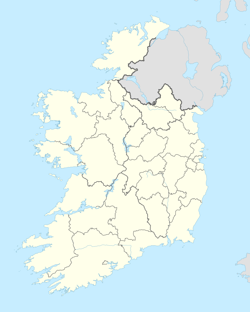 Location of Dún Fearbhaí in Ireland | |
Location
Dún Fearbhaí is located on the eastern edge of Inishmaan, facing back toward Galway Bay.[4]
History
The fort is believed to date from the 1st millennium AD, some placing it around the 9th century.[5][6] Its rectilinear shape and unusual structure has led to the belief that it is later than the other Aran Islands forts like Dún Conor, and perhaps contemporary with Dún Formna on Inisheer.[7]
The name Dún Mur is believed to have the same derivation as the Cliffs of Moher, which are named after an old promontory fort called Moher, which once stood on Hag's Head. The name Dún Fearbhaí takes its name from the surrounding area An Fhearbach, "abounding in cattle."[8]
Description
A stone ringfort (cashel) shaped like a square with rounded corners; it contains two walls and one terrace built on a steep incline, and also four sets of internal stairs. The walls are up to 4 m (13 ft) high and up to 3 m (9.8 ft) thick, and measure about 27 m (89 ft) by 23 m (75 ft) internally.[9][10] There is a single entrance in the east, 2 m (6 ft 7 in) wide. O’Driscoll wrote, "A thick wall would have been necessary for larger, higher walls, resulting in excessive labour and resource costs. This was partly alleviated by terracing the walls, reducing the amount of material used. Terracing of the inner face and incorporation of steps allowed access to the top of the wall, permitting occupants expansive visibility of the immediate environs as well as a strategic advantage over approaching attackers. The vertical walls that met attackers or visitors would have been an impressive barrier that provided practical defence for the occupants, as well status."[11]
References
- "The small fort (Dún Fearbhaí) and the old church (Cill Cheanainn) 02 April 2013 | How's the Serenity?".
- "National Monuments in State Care: Ownership & Guardianship" (PDF). Ireland: National Monuments Service. 4 March 2009. Retrieved 8 June 2020.
- "Dún Fearbhaí on a Sunday afternoon | How's the Serenity?".
- "Dún Fearbhui | Dún Mur | Fearboy's Fort | Stone Fort Inis Meáin".
- Guides, Rough (1 June 2015). "The Rough Guide to Ireland". Rough Guides UK – via Google Books.
- "Dún Fearbhaí (Ferboy's Fort)".
- Henderson, Jon (30 December 2007). "The Atlantic Iron Age: Settlement and Identity in the First Millennium BC". Routledge – via Google Books.
- Spellissy, Sean (1 January 1999). "The history of Galway". Celtic Bookshop – via Google Books.
- "The Mystery of the Aran Islands- Dún Mur". aran-islands-tsunami-shelters.com.
- Halpin, Andrew; Newman, Conor (30 September 2006). Ireland: An Oxford Archaeological Guide to Sites from Earliest Times to AD 1600. Oxford University Press. p. 190 – via Internet Archive.
Dún Fearbhaí.
- https://www.ria.ie/sites/default/files/dwhs_report_2016_odriscoll_preliminary_report_for_web_3_0.pdf