Col de Couz
The Col de Couz is a pass located near the village of Saint-Jean-de-Couz, peaking at 624 m above sea level.[1] It is located at equal distances from the ends of the valley of Couz. It connects Chambéry north-east to Les Echelles southwest side. It is crossed by the departmental road 1006. Mount Beauvoir is located west of the Col de Couz.
| Col de Couz | |
|---|---|
 View of Col de Coux | |
| Elevation | 624 m (2,047 ft) |
| Traversed by | D1006 |
| Location | Savoie, France |
| Range | Alps |
| Coordinates | 45°28′09″N 5°49′02″E |
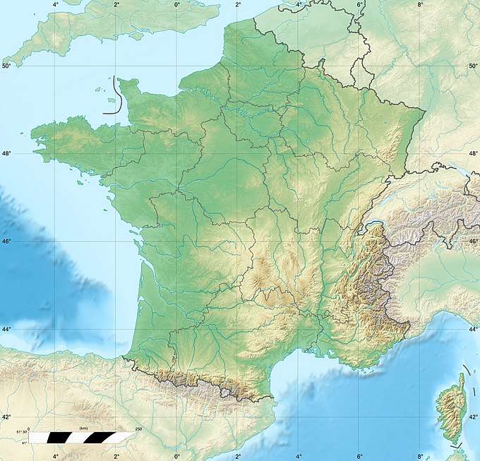 Col de Couz Location of Col de Couz | |
References
- "Col de Couz". cols-cyclisme.com. Retrieved December 9, 2016.
This article is issued from Wikipedia. The text is licensed under Creative Commons - Attribution - Sharealike. Additional terms may apply for the media files.