Chicken's Neck (Pakistan)
The Chicken's Neck, or the Akhnoor Dagger, is the name for a narrow strip of Pakistani territory that extends into the Indian Union Territory of Jammu and Kashmir south of Akhnoor. This sensitive piece of land, which lies on the de jure India–Pakistan border on the west side of the disputed region of Kashmir, is part of Punjab Province's Sialkot District and measures roughly 170 km2 (66 sq mi). It has been a focal point in all the wars between India and Pakistan, as it is seen as a corridor towards most of Jammu and Kashmir. One of the main thrusts of Operation Grand Slam in the Indo-Pakistani War of 1965 was to capture Akhnoor through the Chicken's Neck, which could potentially have choked the Indian Army in the region; however, the plan failed.
Chicken's Neck Akhnoor Dagger | |
|---|---|
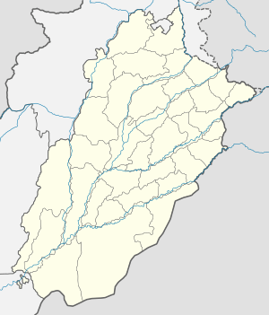 Chicken's Neck Location in Punjab | |
| Coordinates: 32.87°N 74.73°E | |
| Country | |
| Province | Punjab |
| District | Sialkot |
| Elevation | 301 m (988 ft) |
| Time zone | UTC+5:00 (PST) |