Cherla mandal
Cherla is a mandal in Bhadradri Kothagudem district.[1] It is located on the banks of River Godavari. Prior to 30 November 1959, it was a part of Bhadrachalam constancy in Khammam district.[2]
Cherla Mandal | |
|---|---|
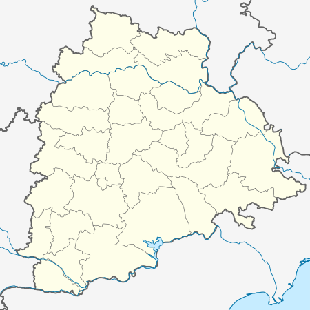 Cherla Mandal Location in Telangana, India  Cherla Mandal Cherla Mandal (India) | |
| Coordinates: 18.075°N 80.827°E | |
| Country | |
| State | Telangana |
| District | Bhadradri Kothagudem |
| Elevation | 78 m (256 ft) |
| Languages | |
| • Official | Telugu |
| Time zone | UTC+5:30 (IST) |
| Vehicle registration | TS |
| Website | telangana |
Geography
Cherla is a small town located on the banks of River Godavari at 18°04′30″N 80°49′37″E. It has an average elevation of 78 metres (259 ft) and is also close to the Taliperu tributary of the Godavari.
Irrigation
The Taliperu Project is a medium irrigation project across the Taliperu river, a major tributary of the river Godavari, near Peddamidisileru village in Charla. It has an ayakut utilisation of 2,600 acres (11 km2).[3]
References
- "District Administration – Formation/Reorganization of District, Revenue Divisions and Mandals in Badradri District at Kothagudem – Final Notification - Orders – Issued" (PDF). Bhadradri Kothagudem District. Archived from the original (PDF) on 1 August 2017. Retrieved 22 July 2017.
- Rao, K. V. Narayana (1 January 1972). Telangana: a study in the regional committees in India. Minerva Associates.
- "Water Resources Information System". irrigation.cgg.gov.in. Archived from the original on 17 July 2012. Retrieved 10 April 2016.
External links
This article is issued from Wikipedia. The text is licensed under Creative Commons - Attribution - Sharealike. Additional terms may apply for the media files.