Chemmannar
Chemmannar is a village in the High ranges of Idukki district, Kerala, India.

Chemmanar Church

foot bridge
Chemmannar | |
|---|---|
Village | |
 | |
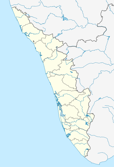 Chemmannar Location in Kerala, India  Chemmannar Chemmannar (India) | |
| Coordinates: 9.843°N 77.1519°E | |
| Country | |
| State | Kerala |
| District | Idukki |
| Government | |
| • Type | Panchayath |
| • Body | Udumbanchola grama panchayath |
| Area | |
| • Total | 51.95 km2 (20.06 sq mi) |
| Population (2011) | |
| • Total | 9,969 |
| • Density | 160/km2 (400/sq mi) |
| Languages | |
| • Official | Malayalam, English |
| Time zone | UTC+5:30 (IST) |
| PIN | 685554, 685566 |
| Telephone code | 04868 |
| Vehicle registration | KL-69, KL-37 |
| Nearest cities | Kattappana, Nedumkandam, Adimaly, Rajakad Kumily |
| Climate | cold climate which may come down to 5c (Köppen) |
| Website | www.lsgkerala.in/nedumkandamblock |
Etymology
The Name Chemmannar is derived from the tributary river Periyar, the water of the river is slightly red coloured because it contains red soil, which is in Malayalam is called "Chemmannu".in an ar(river) chemmannu (red soil) flowed . Thus, the name origin from chemmannu+ar=chemmannar.
Economy
Agriculture is the main occupation of the people in the village. Dairy is the main supplementary source of income of the farmers in the village.
Geography
Places adjacent to Chemmannar | ||||||||||
|---|---|---|---|---|---|---|---|---|---|---|
| ||||||||||
School

Chemmannar School
St. Xavier's HSS, was set up in the year 1963 and was upgraded to a high school in 1971 and a higher secondary school in 2000.
External links
This article is issued from Wikipedia. The text is licensed under Creative Commons - Attribution - Sharealike. Additional terms may apply for the media files.