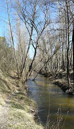
Cega (river)
The Cega is a river in the Iberian Peninsula a left-bank tributary of the Douro.
| Cega | |
|---|---|
 | |
.png) | |
| Location | |
| Country | Spain |
| Physical characteristics | |
| Source | Sierra de Guadarrama |
| • location | Province of Segovia |
| • coordinates | 41°0′55″N 3°51′4″W |
| Mouth | Douro |
• location | Province of Valladolid |
• coordinates | 41°32′57″N 4°46′3″W |
| Length | 133 km (83 mi) |
| Basin features | |
| River system | Douro |
| Tributaries | |
| • left | Pirón |
It is born out of the confluence of the Artiñuelo and the Vueltas creeks in the Sierra de Guadarrama.[1] 133 km-long,[2] the Cega, running northwest through the province of Segovia, empties in the Douro in the province of Valladolid, having previously received the waters of the Pirón,[2] its main left-bank tributary.
References
- Mejías Moreno, Miguel; Pozo Tejado, Jesús del; Albacete Carreño, Lourdes; Villarroya Gil, Fermín (2016). "El agua en la Sierra de Guadarrama" (PDF). Boletín de la Real Sociedad Española de Historia Natural. Sección geológica. (110): 76. ISSN 0583-7510.
- Santiago Sáez, Jose María; García de Jalón Lastra, Diego; Alonso González, Carlos; Solana Gutiérrez, Joaquín (2013). "Comportamiento térmico de dos tramos fluviales de cabecera del Sistema Central: impacto del embalse de Torrecaballeros (Segovia)". La protección contra los riesgos hídricos. Barcelona: E.T.S.I. Montes (UPM): 154. ISBN 978-84-267-2070-2.
This article is issued from Wikipedia. The text is licensed under Creative Commons - Attribution - Sharealike. Additional terms may apply for the media files.