Cape Worsley
Cape Worsley (64°39′S 60°24′W) is a dome-shaped cape 225 m high with snow-free cliffs on the south and east sides, lying 10 nautical miles (18 km) east of the south end of Detroit Plateau on Nordenskjöld Coast in Graham Land, Antarctica. Charted by the Falkland Islands Dependencies Survey (FIDS) in 1947 and named for Commander Frank A. Worsley, British polar explorer and member of Sir Ernest Shackleton's expeditions of 1914-16 and 1921–22.
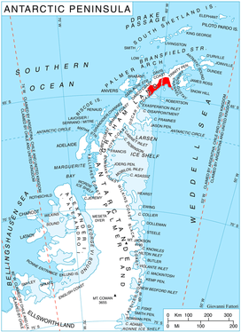
Location of Nordenskjöld Coast.
![]()
![]()
This article is issued from Wikipedia. The text is licensed under Creative Commons - Attribution - Sharealike. Additional terms may apply for the media files.