Cape Dubouzet
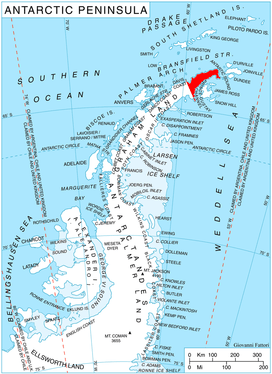
Cape Dubouzet (63°16′S 57°3′W) is a cape that marks the northeastern extremity of Trinity Peninsula and the Antarctic Peninsula. It is situated 7.7 miles (12 km) north by west of Sheppard Point, 1.15 miles (2 km) northeast of Vishegrad Knoll, 9 miles (14 km) east-southeast of Prime Head, 6.7 miles (11 km) east-southeast of Siffrey Point, and 11.3 miles (18 km) west-southwest of Archibald Point, Bransfield Island.
The point was charted in 1838 by a French expedition under Captain Jules Dumont d'Urville, who named it for Lieutenant Joseph DuBouzet of the expedition ship Zélée. The approved spelling form has been established by usage.[1][2]
References
- "Dubouzet, Cape". Geographic Names Information System. United States Geological Survey. Retrieved 2012-02-01.
- "Dubouzet, Cape". Gna-GeographicNamesOfTheAntarctic1stEdition1981_djvu. p. 579. Retrieved 2012-02-01.
![]()